Drone Mapping Services in California

Get sub-6cm accuracy orthomosaic maps, 3D terrain models & photogrammetry data in 2 days. FAA certified pilots delivering professional aerial mapping for construction, engineering & development projects across California.

  • FAA Part 107 Certified
  • RTK/PPK Technology
  • 500+ Acres/Day
  • Engineering-Grade Data

2

Day Turnaround

2-5cm

Vertical Accuracy

1-3cm

Horizontal Accuracy

$1M+

Insured

Traditional Mapping Methods
Are Slow and Expensive

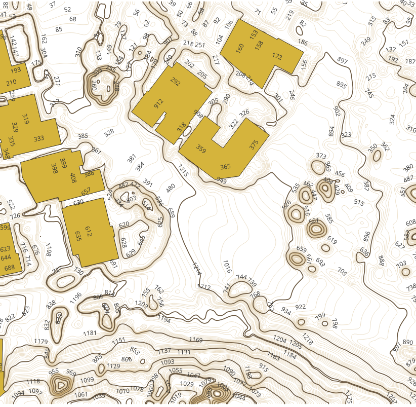
Ground-based mapping takes weeks and costs significantly more. Manual methods miss critical details and delay project timelines. Drone mapping delivers accurate site data in days, not weeks—with comprehensive visual documentation traditional methods can’t provide.

Fast, Accurate Drone Mapping Data

Professional drone mapping services for construction, civil engineering, real estate, and development projects.

2 Days

Data Delivery

Sub-6cm

Vertical Accuracy

40%

Cost Savings

500+

Acres Per Day

Drone Mapping Solutions

Professional drone mapping services for construction, civil engineering, real estate, and development projects.

drone photography services

Orthomosaic Mapping

High-resolution, georeferenced aerial maps with sub-6cm accuracy. Measure distances, areas, and site features directly from the map.

drone videography services

3D Terrain Mapping

Detailed 3D surface models and digital elevation models (DEMs) for volumetric calculations, cut/fill analysis, and grading design.

mapping and suryeving drone services

Construction Monitoring

Progress tracking, stockpile measurements, site documentation, and as-built verification. Track changes efficiently over time.

inspection services

Civil Engineering

Corridor mapping, road design data, drainage analysis, and infrastructure planning. Accurate elevation data for engineering projects.

commercial real estate photography

Photogrammetry

High-density point clouds from aerial imagery. 3D models, digital surface models (DSMs), and contour maps from photogrammetry processing.

CAD-Ready Deliverables

Clean, processed data in multiple formats (DXF, DWG, GeoTIFF, LAS). Seamless integration with your design software.

Recent California Drone Mapping Projects

High-accuracy mapping delivered on time for critical California projects.

Mavic 4 pro

Sorrento Valley Digital Twin

50,000+ Sq Ft
Area Mapped

Sub-5cm
Accuracy Achieved

24 Hours
Data Delivery

3D Model
Digital Twin

High-resolution drone mapping for commercial facility digital twin creation. Comprehensive 3D model and contour mapping supporting facility management, renovation planning, and infrastructure documentation for 50,000+ sq ft campus.

Get Similar Results →

Mavic 4 pro

Rancho Palos Verdes Landslide

30+ Acres
Area Mapped

Sub-5cm
Accuracy Achieved

24 Hours
Data Delivery

Infrastructure
Assessment

Emergency response LiDAR mapping for active landslide monitoring. Critical data delivered same-day for infrastructure safety assessment.

Get Similar Results →

Get High-Accuracy
Drone Mapping Data in 2 Days

Join California projects using our drone mapping services to accelerate timelines and reduce costs.

Our Process

Professional workflow designed for accuracy, efficiency, and reliable data delivery.

1

Project Planning

We discuss your project requirements, site conditions, accuracy needs, and deliverable specifications. Custom flight planning for optimal data capture.

2

Data Collection

RTK-enabled drones capture high-resolution aerial imagery with precise positioning. Automated flight paths ensure complete coverage and consistent quality.

3

Processing & QC

Advanced photogrammetry software processes raw imagery into accurate orthomosaics, 3D models, and elevation data. Quality control ensures accuracy meets specifications.

4

Delivery

CAD-ready files in your preferred formats (DXF, DWG, GeoTIFF, LAS). Complete documentation, accuracy reports, and ongoing support included.

Get Your Free Drone Mapping Quote

Tell us about your project and we’ll provide a detailed quote within 24 hours.