San Francisco Drone Photography Services
Looking for drone services in San Francisco that deliver true visual and spatial insight?
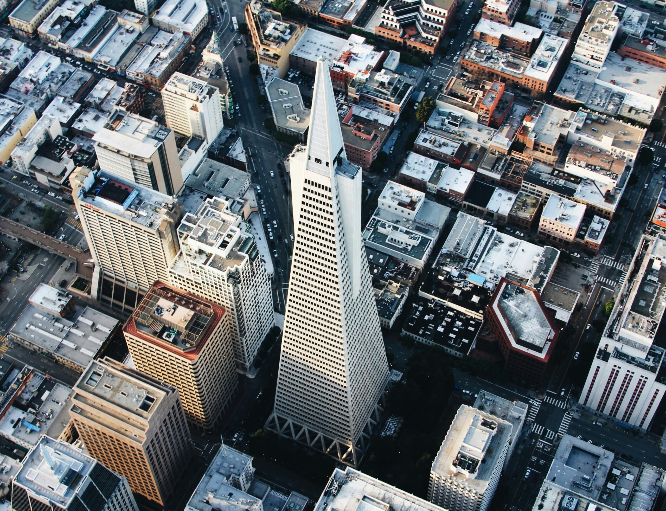
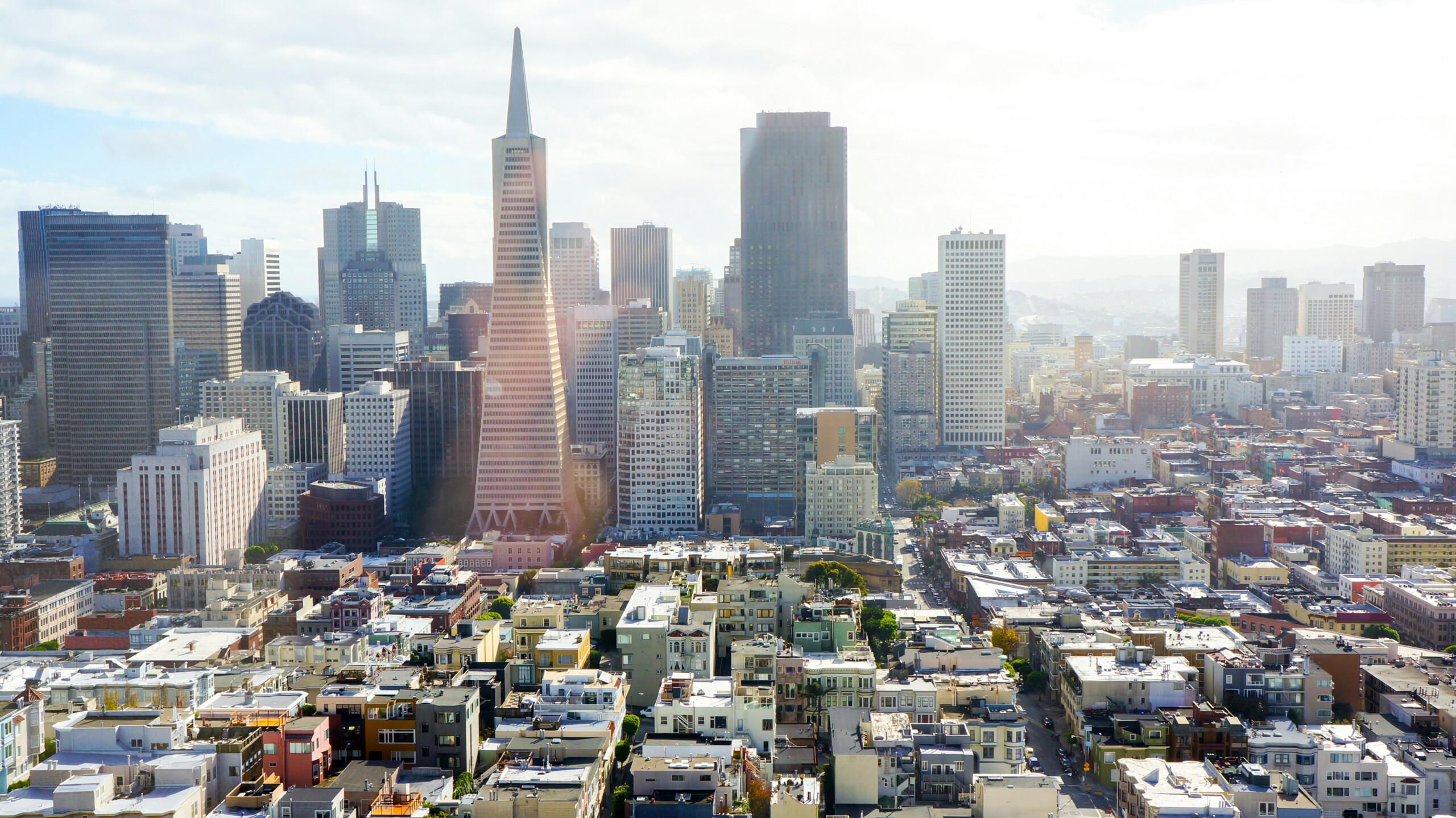
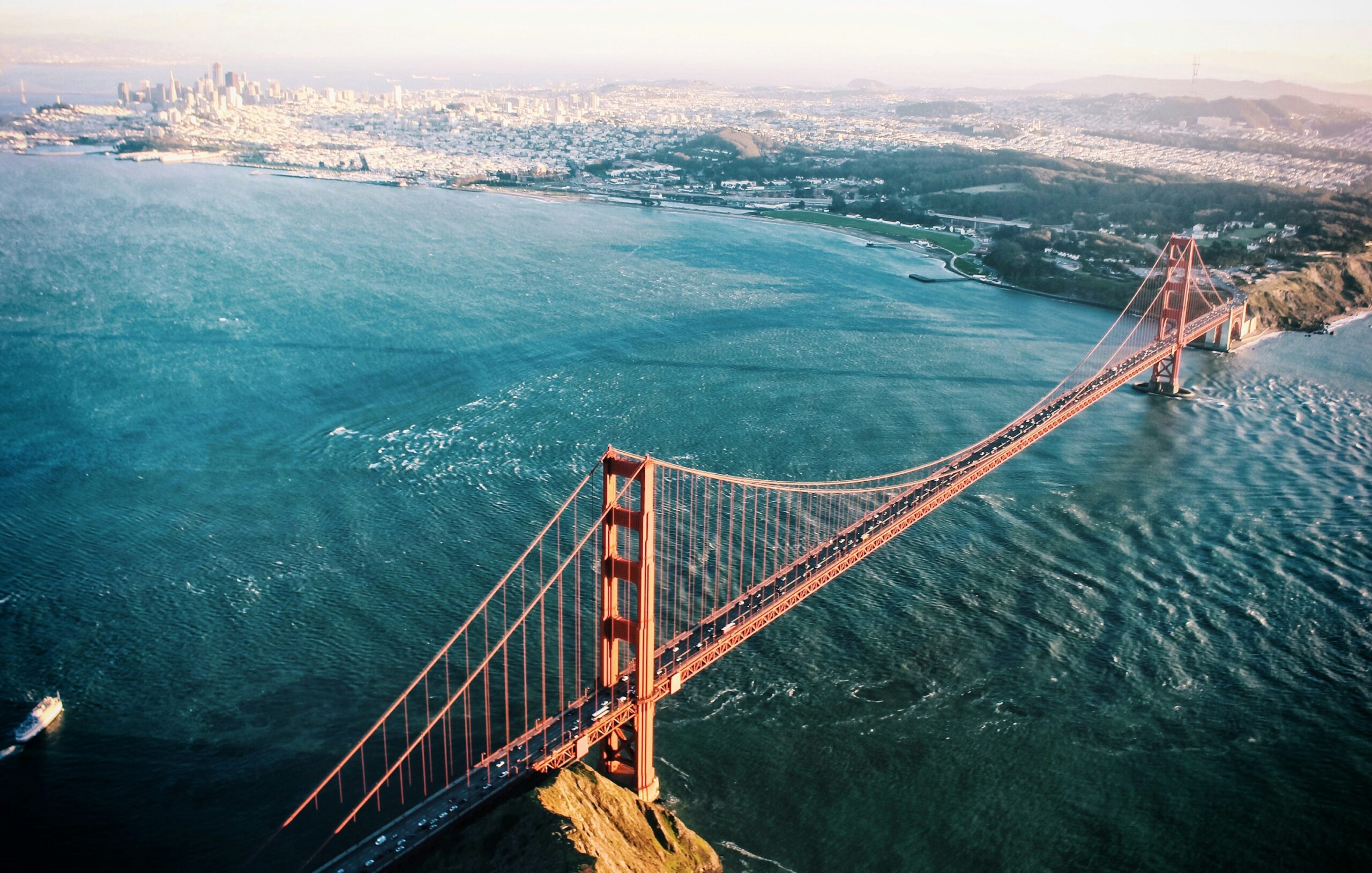
Our FAA-certified pilots specialize in commercial drone photography, aerial mapping, and LiDAR data collection for development sites, urban land surveys, and commercial real estate projects across the Bay Area. From the coastal edges of the Marina District to high-rise construction zones in SoMa and Mission Bay, we capture high-resolution aerial data with cinematic visuals and photogrammetric precision.
Every project is delivered with accuracy, speed, and local expertise. Whether you’re surveying land for a new development or capturing aerial visuals for a marketing campaign, we deliver professional results—on time, on budget, and with zero compromises on quality.
High-Resolution Aerial Imaging, Topographic Mapping & LiDAR Data Collection in San Francisco, CA
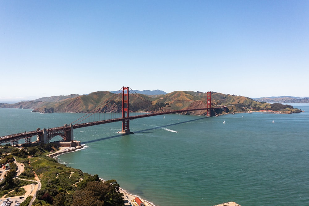
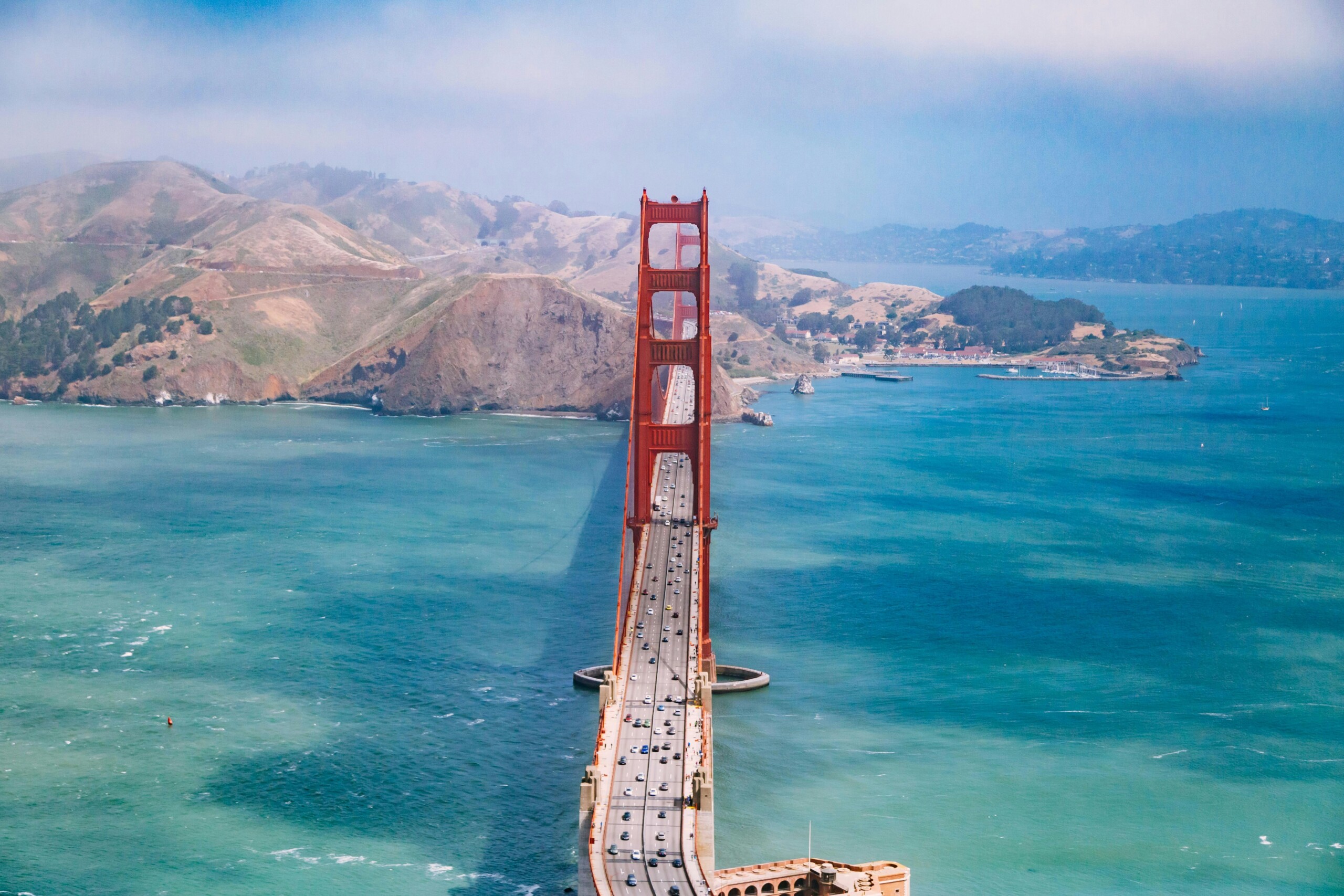
San Francisco’s dynamic skyline, infrastructure expansion, and diverse terrain demand precision aerial imaging — and we deliver. Our FAA-certified drone pilots specialize in capturing high-resolution visuals and photogrammetric data to support developers, engineers, and commercial real estate professionals.
Whether you’re documenting land in Mission Bay, surveying parcels in the Sunset District, or mapping high-rise developments near the Embarcadero and SoMa, we provide cinematic visuals and survey-grade data with speed, accuracy, and deep local knowledge.
Our drone services in San Francisco include high-resolution photography, LiDAR data collection, topographic mapping, and photogrammetry—ideal for land development, permitting, and construction. Every project begins with a custom flight plan and a no-obligation estimate. We also serve adjacent Bay Area communities including Daly City, South San Francisco, and Treasure Island.
Our services include:
Ready to elevate your project with professional drone services?
Contact AeroViews today for a free quote and let’s plan your next flight in San Francisco.
A local San Francisco commercial drone services company
a few of our services
- Commercial Real Estate Drone Photography
- Commercial Real Estate Drone Videography
- Construction Site Drone Photography & Video
- Drone 3D Mapping (Orthomosaic & DSM)
- LiDAR Drone Mapping & Data Collection
- Drone Surveying Services (Photogrammetry + Topographic Mapping)
- Solar Installation Drone Photography / Video

Whatever your project, we bring it to life from above with precision aerial imaging.
Whether you’re capturing aerial views of commercial rooftops in SoMa, surveying development parcels along Van Ness Avenue, or documenting high-rises in the Financial District, our drone team brings technical and cinematic expertise to every mission. We deliver stunning visuals with accurate spatial data to support your marketing, development, and planning goals.
No site is too complex or too vertical. From FAA-compliant LiDAR mapping to cinematic-grade aerial imaging, we help architects, developers, and commercial brokers gain visual clarity and site control. Let’s bring precision and impact to your San Francisco project—one flight at a time.