Moreno Valley Drone Services, Drone Photography, Mapping & LiDAR Services
AeroViews provides professional drone photography, mapping, and LiDAR imaging throughout Moreno Valley, CA, supporting construction, engineering, and commercial development projects across the region. Our FAA-certified pilots deliver high-resolution aerial visuals and accurate geospatial data designed for planning, documentation, and marketing.
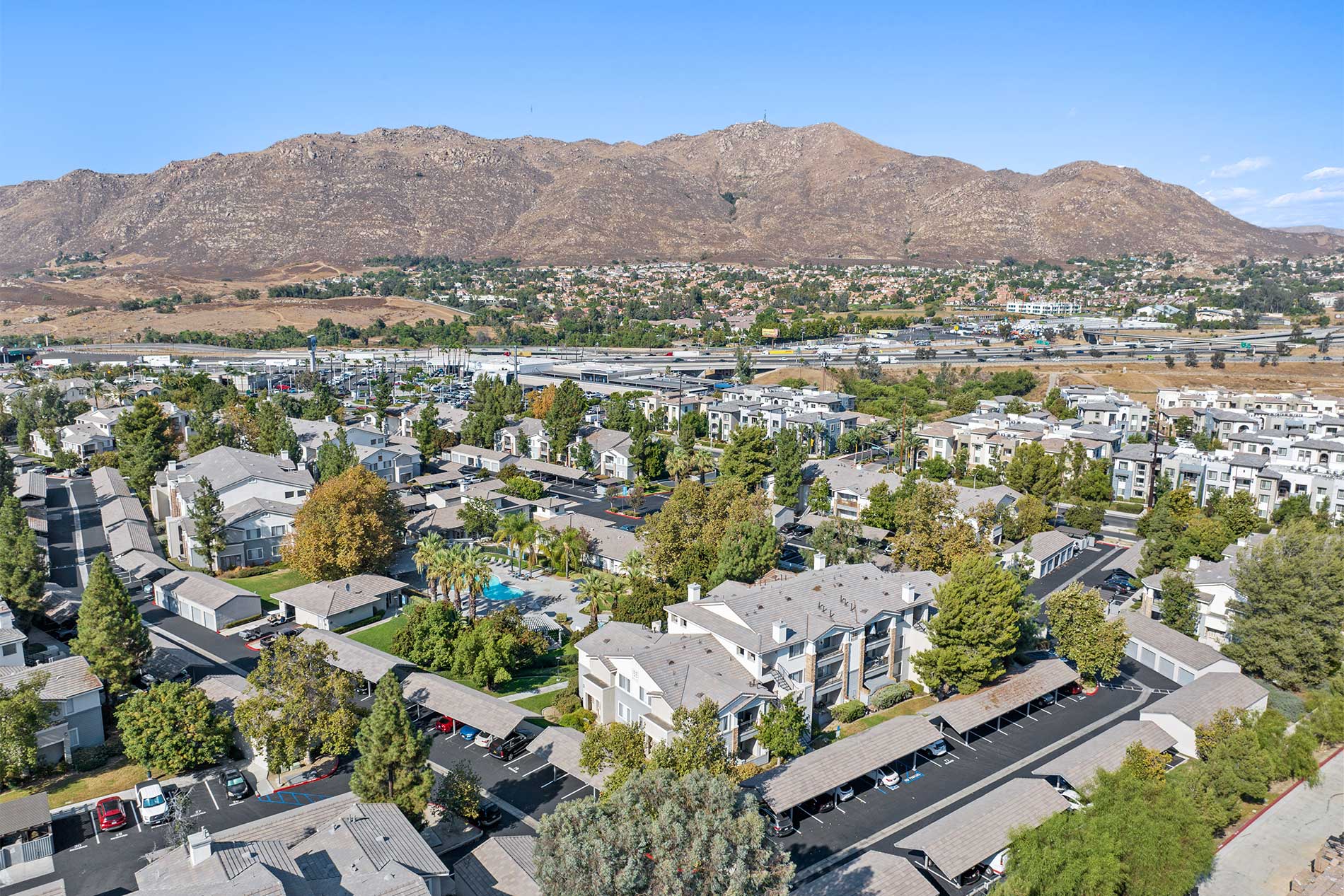
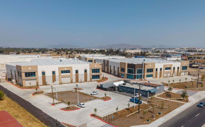
From industrial corridors near Moreno Valley Industrial Park to expanding residential areas along Iris Avenue and Eucalyptus Avenue, our drone team captures clear, detailed imagery that helps clients evaluate sites, monitor progress, and present projects with confidence.
High-Resolution Aerial Imaging, Topographic Mapping & LiDAR Data Collection in Moreno Valley, CA
Moreno Valley’s large-scale developments, logistics facilities, and transportation corridors require drone mapping and LiDAR workflows built for precision and efficiency. AeroViews produces topographic maps, 3D surface models, and LiDAR-based elevation data tailored for engineers, surveyors, and planners.
From grading assessments near March Air Reserve Base to infrastructure planning along the SR-60 corridor, our drone teams deliver geo-referenced datasets compatible with AutoCAD, Civil 3D, and GIS platforms—processed accurately and delivered on schedule.
Ready to elevate your project with professional drone services?
Contact AeroViews today for a free quote and let’s plan your next flight in Moreno Valley.
A local Moreno Valley commercial drone services company
a few of our services
- Commercial Real Estate Drone Photography
- Commercial Real Estate Drone Videography
- Construction Site Drone Photography & Video
- Drone 3D Mapping (Orthomosaic & DSM)
- LiDAR Drone Mapping & Data Collection
- Drone Surveying Services (Photogrammetry + Topographic Mapping)
- Solar Installation Drone Photography / Video

Whatever your project, we bring it to life from above with precision aerial imaging.
From large-scale construction documentation to aerial mapping for site planning, AeroViews delivers high-resolution visuals and LiDAR datasets trusted by Moreno Valley professionals. Our workflows capture accurate, measurable data that supports analysis, reporting, and long-term project oversight.
Whether surveying development near Nason Street, documenting logistics facilities, or capturing marketing imagery for commercial properties, our Moreno Valley team delivers reliable, FAA-compliant results. We equip engineers, developers, and project managers with precise aerial data they can depend on.