Santa Barbara Drone Services
Santa Barbara Drone Services
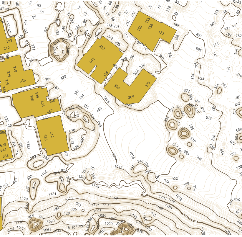
AeroViews provides expert drone mapping, LiDAR mapping, and 3D reality capture services throughout Santa Barbara, CA and the Central Coast. Our FAA-certified drone operations support construction, land development, infrastructure, and commercial projects with accurate aerial data, surfaces, contours, and detailed site models.


Santa Barbara Drone Photography Services
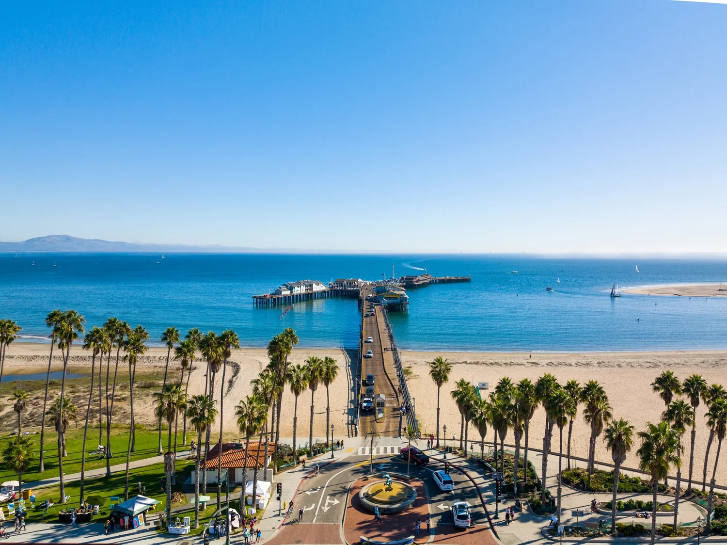
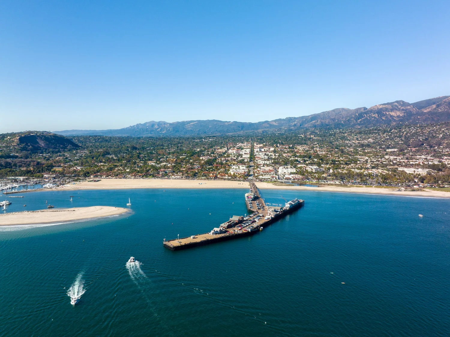
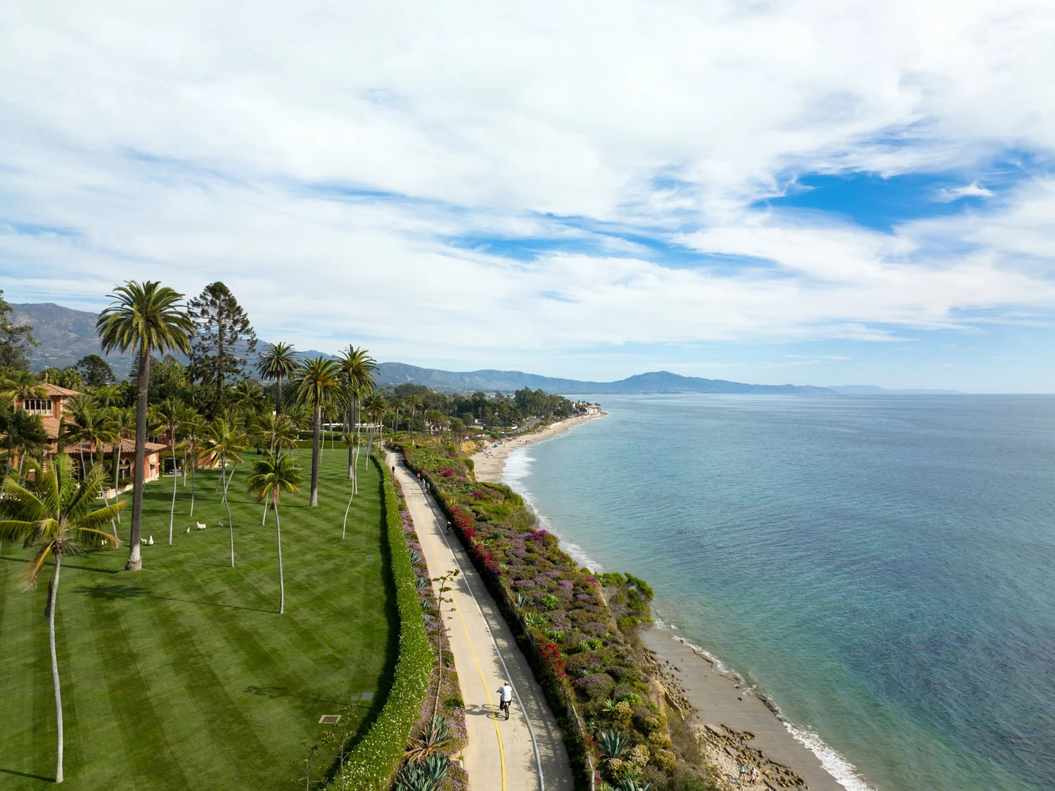
Looking for Santa Barbara drone services that deliver real results? Our FAA-certified pilots capture commercial properties, development sites, and land parcels with unmatched clarity and speed. Capturing Santa Barbara from every angle — from Stearns Wharf to the Santa Ynez foothills.
Trusted by commercial real estate brokers, developers, and engineers throughout Santa Barbara, AeroViews delivers high resolution drone imagery, topographic maps, and LiDAR data collection services— all with precision, speed, and local expertise.
High-Resolution Aerial Imaging, Topographic Mapping & LiDAR Data Collection in Santa Barbara, CA
Santa Barbara drone photography is redefining how businesses visualize, map, and plan their projects — from vineyard topography in Santa Ynez to commercial construction in Goleta. Our FAA-certified pilots and survey-grade drones deliver unmatched accuracy, stunning visuals, and fast turnaround.
We are fully licensed and insured, and every project begins with a free estimate and custom flight plan.
Ready to elevate your project with professional drone services?
Contact AeroViews today for a free quote and let’s plan your next flight in Santa Barbara.
A local Santa Barbara commercial drone services company
a few of our services
- Commercial Real Estate Drone Photography
- Commercial Real Estate Drone Videography
- Construction Site Drone Photography & Video
- Drone 3D Mapping (Orthomosaic & DSM)
- LiDAR Drone Mapping & Data Collection
- Drone Surveying Services (Photogrammetry + Topographic Mapping)
- Solar Installation Drone Photography / Video
Whatever your project, we bring it to life from above with precision aerial imaging.
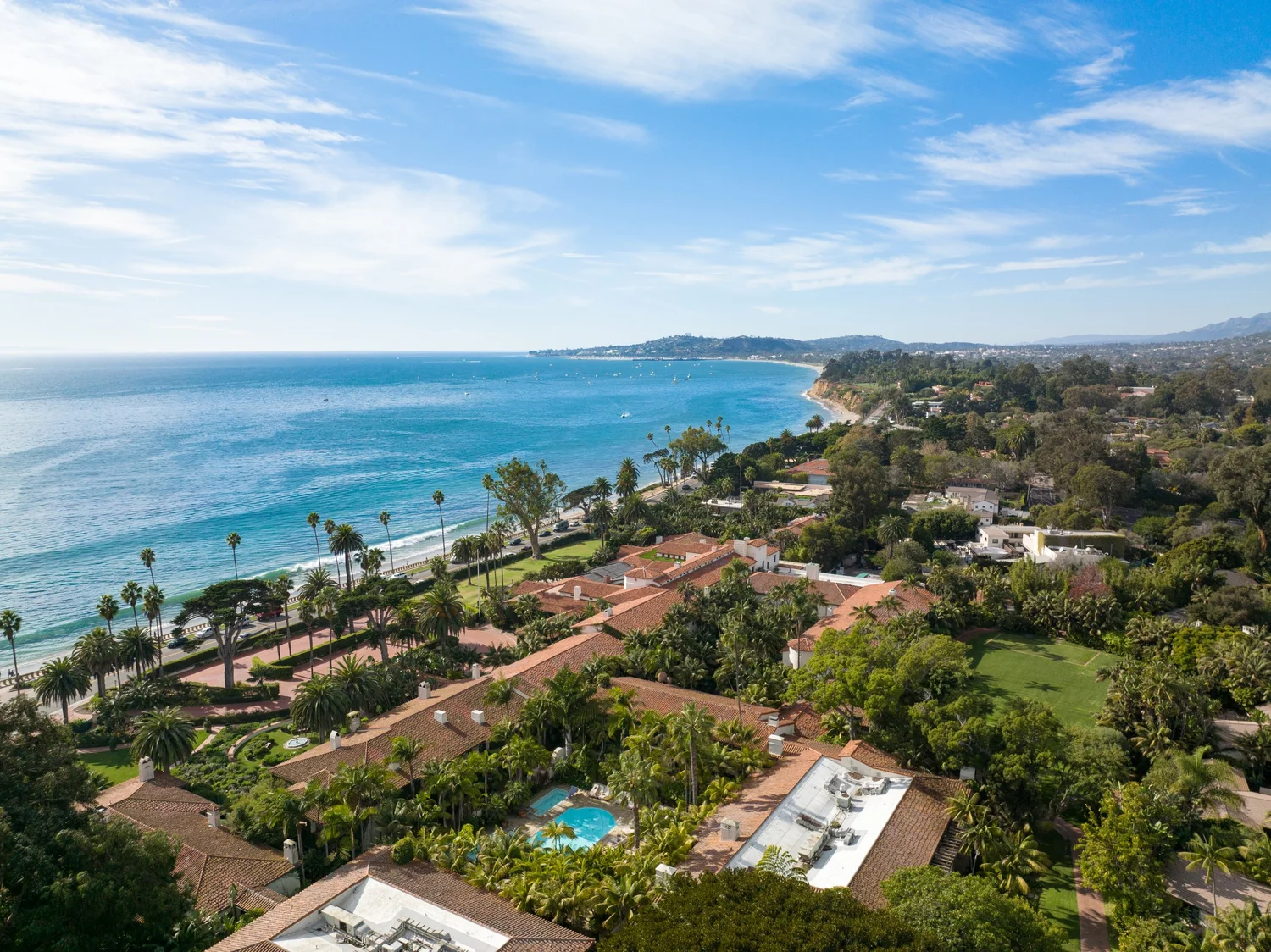
Whether you’re showcasing a retail center in Goleta, mapping a future development in Santa Ynez, or marketing a luxury property in Montecito, our team delivers. With years of experience flying in Santa Barbara airspace, we combine high-resolution drone imagery, precision mapping, and expert post-production to elevate every commercial real estate project.
No site is too complex or too remote. From real estate flyovers to topographic mapping and LiDAR scanning, we deliver fast, FAA-compliant drone services that help developers, brokers, and engineers make smarter decisions. Let’s bring clarity and visual impact to your next project—one flight at a time.