AeroViews Logo

kingsguard

About kingsguard

This author has not yet filled in any details.
So far kingsguard has created 8 blog entries.

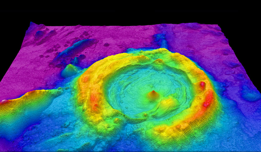
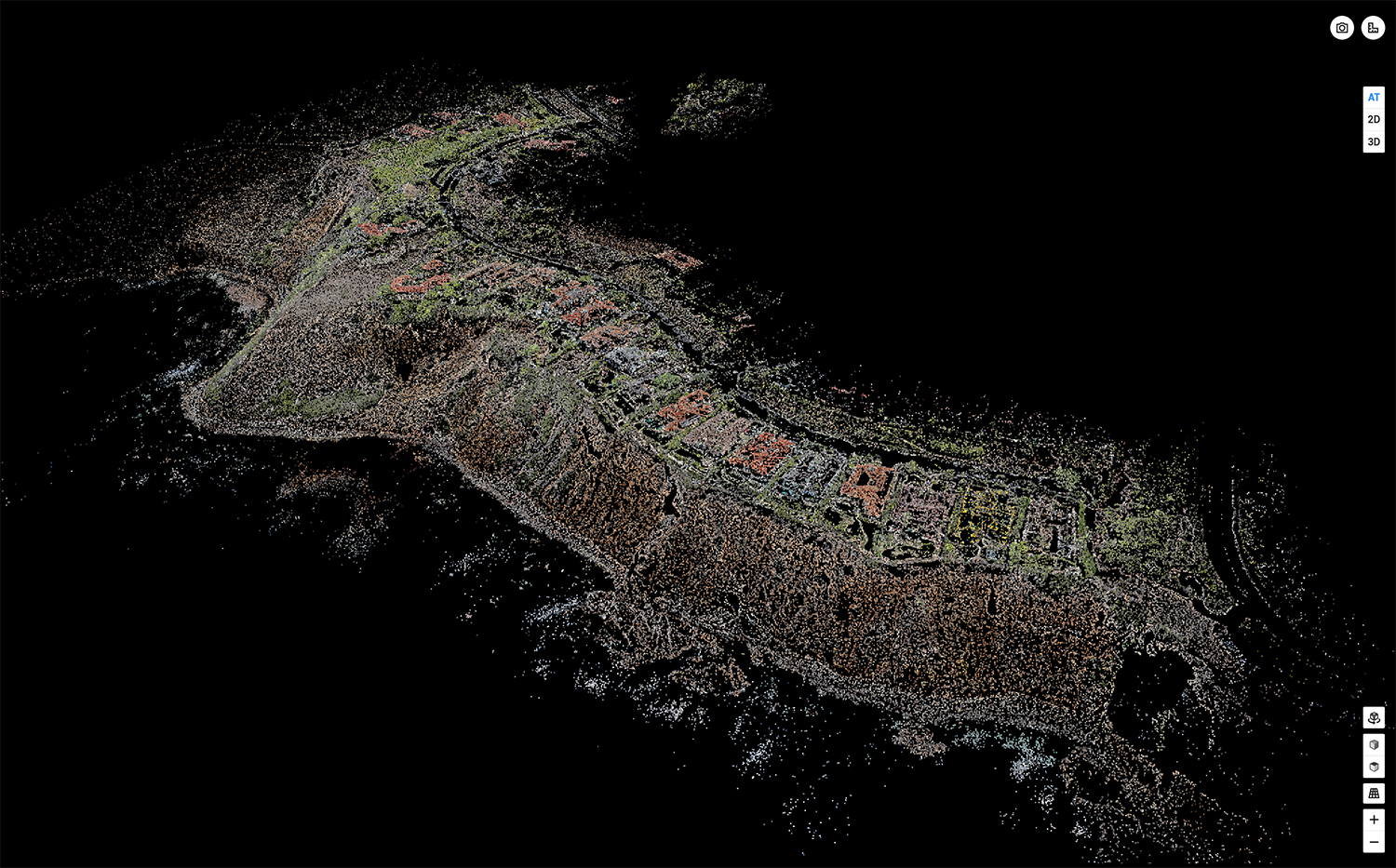
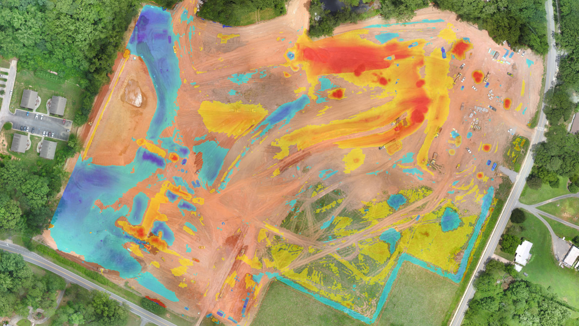
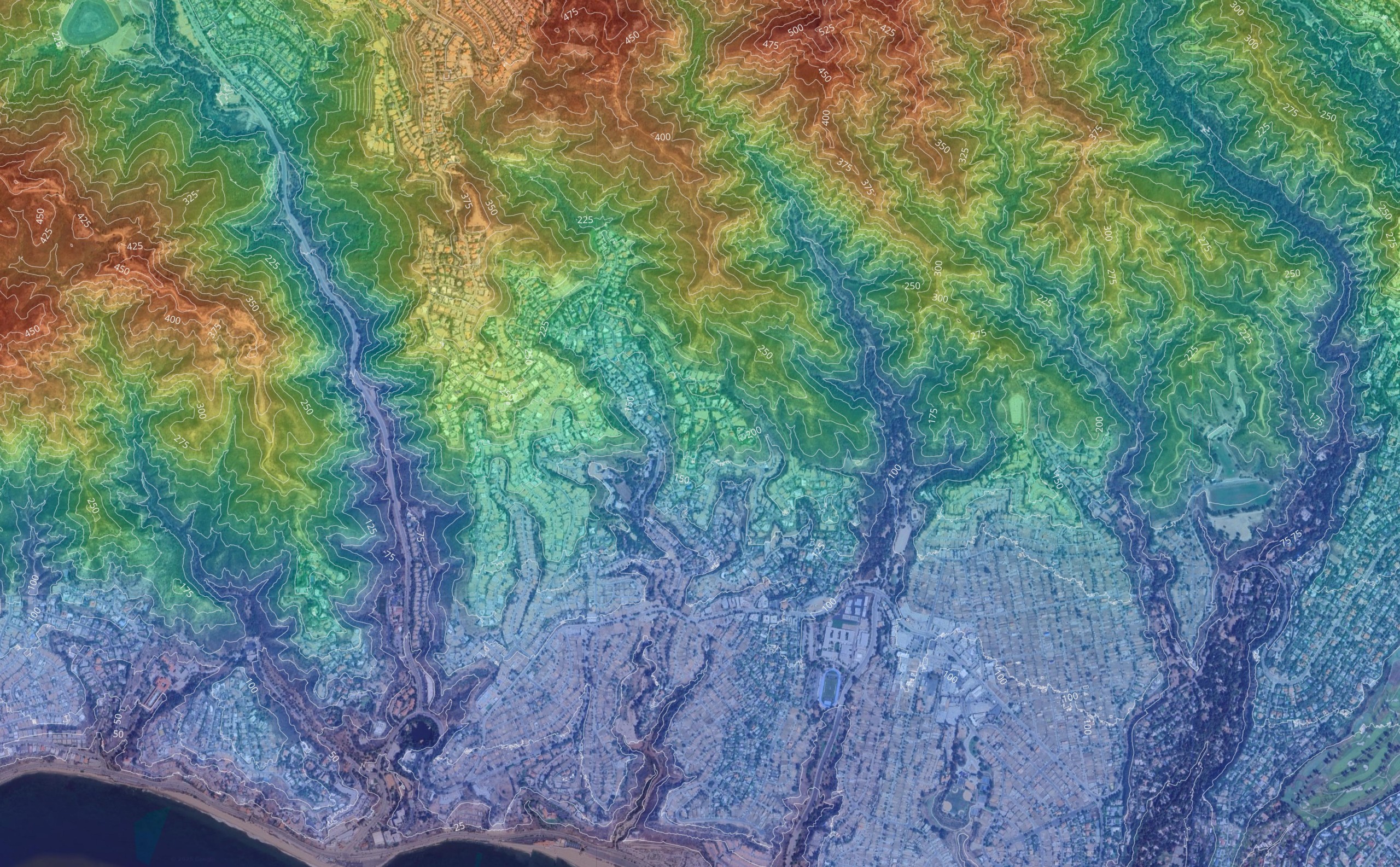
What Are Geospatial Services? Mapping, Data & Analytics Explained

Geospatial services have become essential tools for understanding and managing our physical world. From tracking environmental changes to coordinating emergency response operations, these technologies

By |2026-01-24T02:41:29+00:00January 24th, 2026|Drone Mapping, Geospatial, LiDAR|

Cut and Fill Calculations: Methods, Tools, and Accuracy Tips for Earthwork Projects

What Is Cut and Fill in Construction? In construction and civil engineering, cut and fill refers to the process of moving earth to create

By |2025-11-20T18:22:33+00:00November 20th, 2025|Drone Surveying|

DJI’s Geofencing Removal Redefines Drone Operations and Pilot Responsibilities

DJI, the world’s largest drone manufacturer, recently announced a game-changing policy shift: the removal of geofencing restrictions in the United States. This decision, which

By |2025-01-16T07:27:39+00:00January 16th, 2025|DJI, Drone News|

Elevating Real Estate Marketing with Drone Photography: A Comprehensive Guide

Drone photography is revolutionizing the real estate market, providing stunning, expansive aerial perspectives that static ground-level photos can't compete with. From residential to commercial

Go to Top