Glendale Drone Photography, Mapping & LiDAR Services
AeroViews delivers professional drone photography, mapping, and LiDAR imaging throughout Glendale, CA, providing high-resolution visuals and precise geospatial data for construction, real estate, and public-works projects.
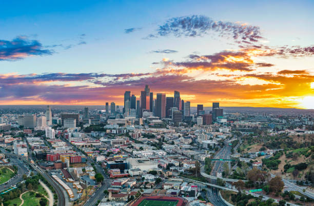
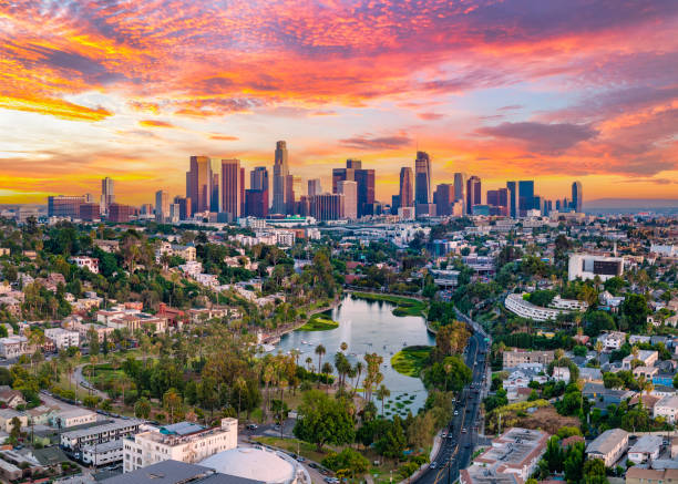
From the downtown business district to hillside neighborhoods along Chevy Chase Drive and mixed-use developments near Brand Boulevard, our FAA-certified pilots capture Glendale’s evolving skyline with accuracy and clarity.
Whether you need progress documentation for a high-rise, LiDAR terrain data for a hillside build, or aerial footage for architectural marketing, our Glendale team combines technical precision with creative vision to deliver outstanding results.
High-Resolution Aerial Imaging, Topographic Mapping & LiDAR Data Collection in Glendale, CA
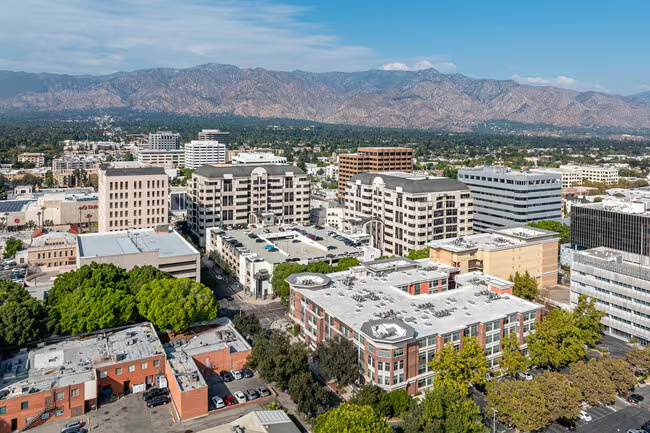
Glendale’s urban topography, dense commercial corridors, and hillside terrain require drone mapping and LiDAR workflows that balance detail with efficiency. AeroViews produces topographic maps, 3D surface models, and LiDAR-based elevation data that integrate seamlessly with AutoCAD, Civil 3D, and GIS platforms.
From redevelopment projects near Glendale Galleria to infrastructure planning along Colorado Street, our teams deliver geo-referenced datasets and imagery engineered for architects, surveyors, and city planners — ensuring reliable data and on-time delivery.
Our services include:
Ready to elevate your project with professional drone services?
Contact AeroViews today for a free quote and let’s plan your next flight in Glendale.
A local Glendale commercial drone services company
a few of our services
- Commercial Real Estate Drone Photography
- Commercial Real Estate Drone Videography
- Construction Site Drone Photography & Video
- Drone 3D Mapping (Orthomosaic & DSM)
- LiDAR Drone Mapping & Data Collection
- Drone Surveying Services (Photogrammetry + Topographic Mapping)
- Solar Installation Drone Photography / Video
Whatever your project, we bring it to life from above with precision aerial imaging.
From urban redevelopment mapping to architectural photography, AeroViews provides high-resolution imagery and LiDAR data tailored to Glendale’s commercial and residential projects. Our team captures the density, structure, and scale of each site with clarity that supports both design and documentation.
Whether monitoring construction along Central Avenue, creating visuals for marketing campaigns, or surveying terrain in Verdugo Mountains, our Glendale specialists deliver precise aerial data and cinematic quality. We help engineers, developers, and marketers visualize and execute projects with confidence.