Murrieta Drone Photography, Mapping & LiDAR Services
AeroViews provides professional drone photography, mapping, and LiDAR imaging throughout Murrieta, CA, supporting construction, engineering, infrastructure, and commercial development across the valley. Our FAA-certified pilots capture high-resolution aerial visuals and reliable geospatial data tailored for site documentation, planning, and marketing.
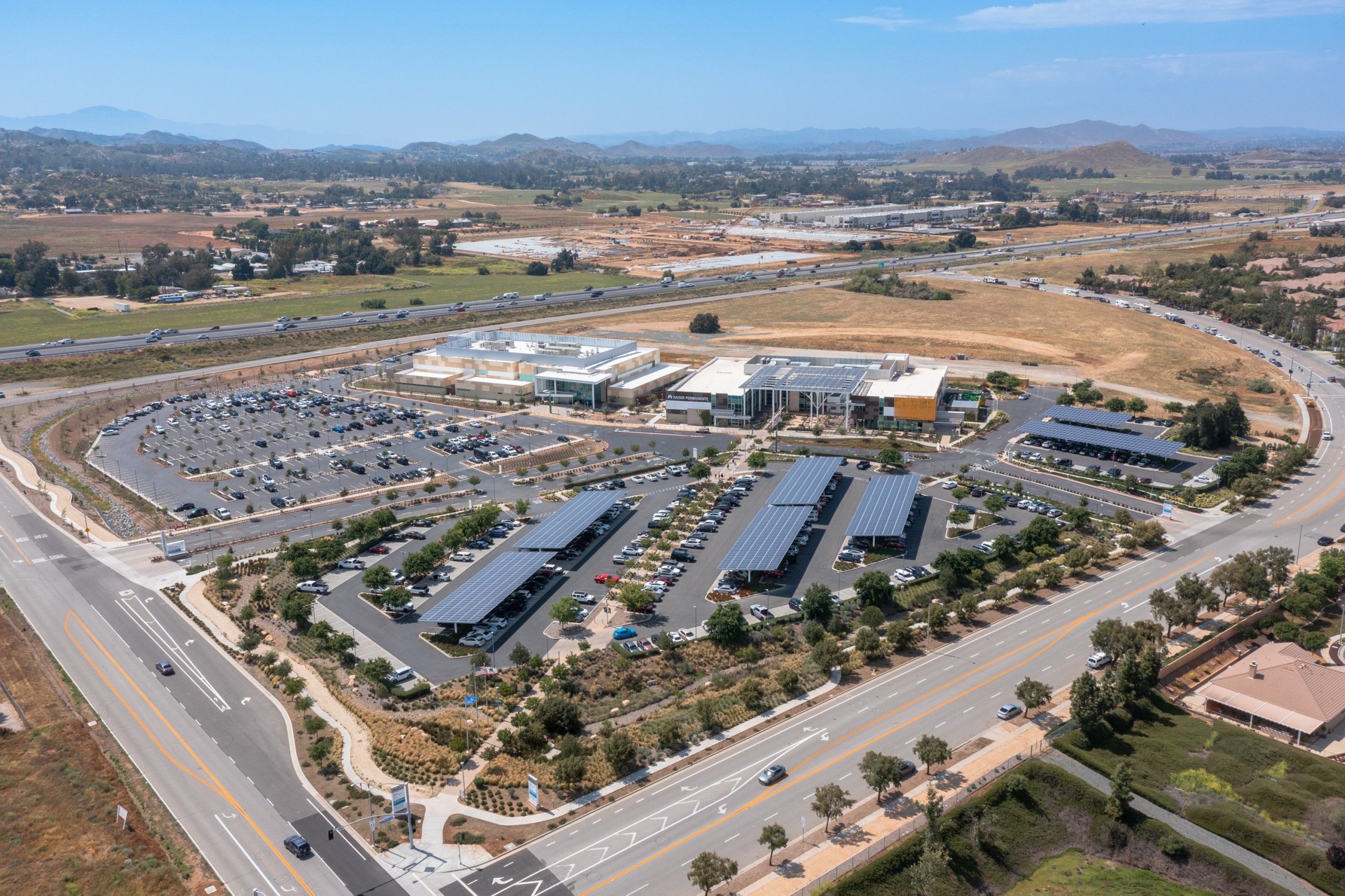
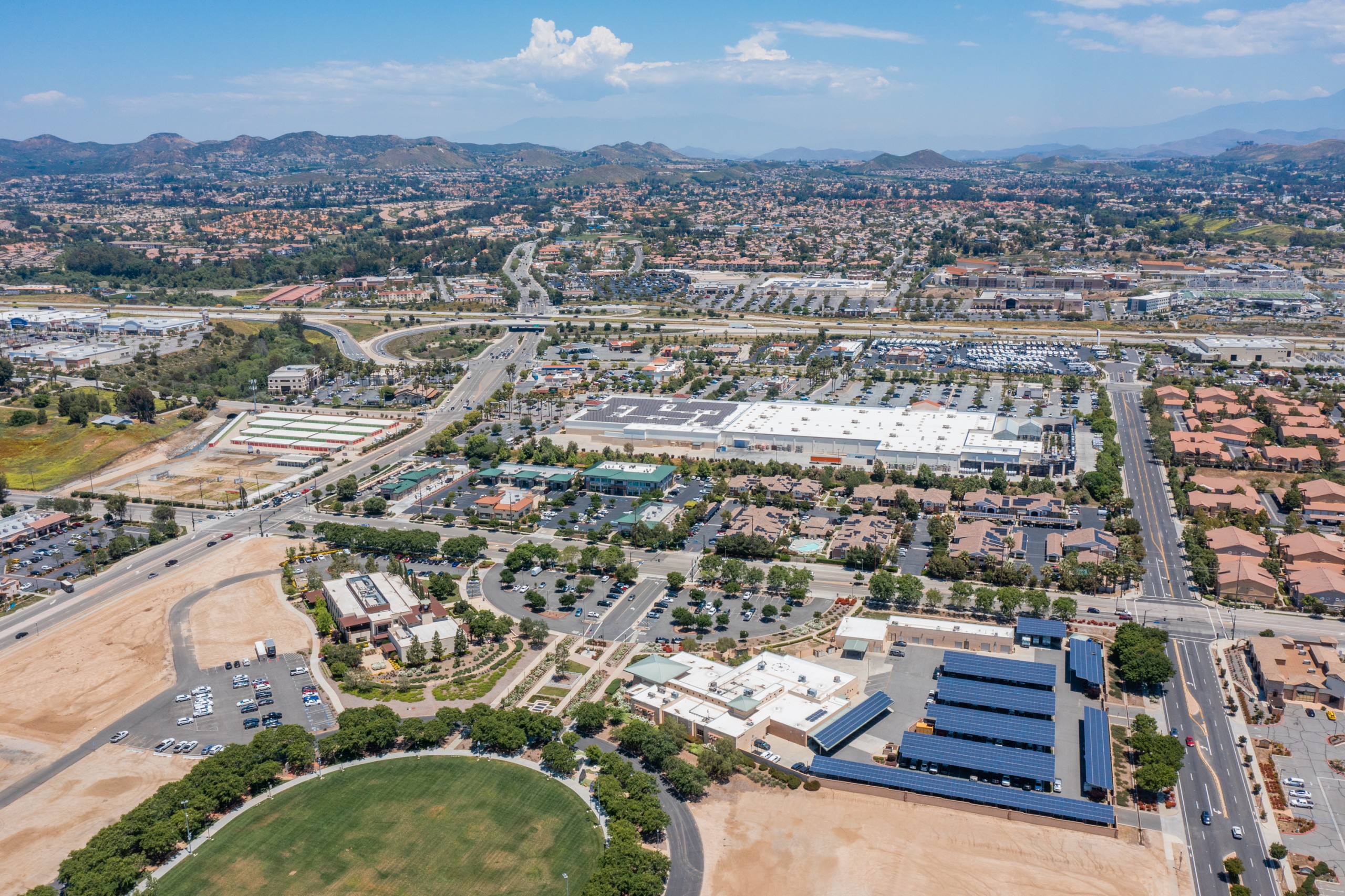
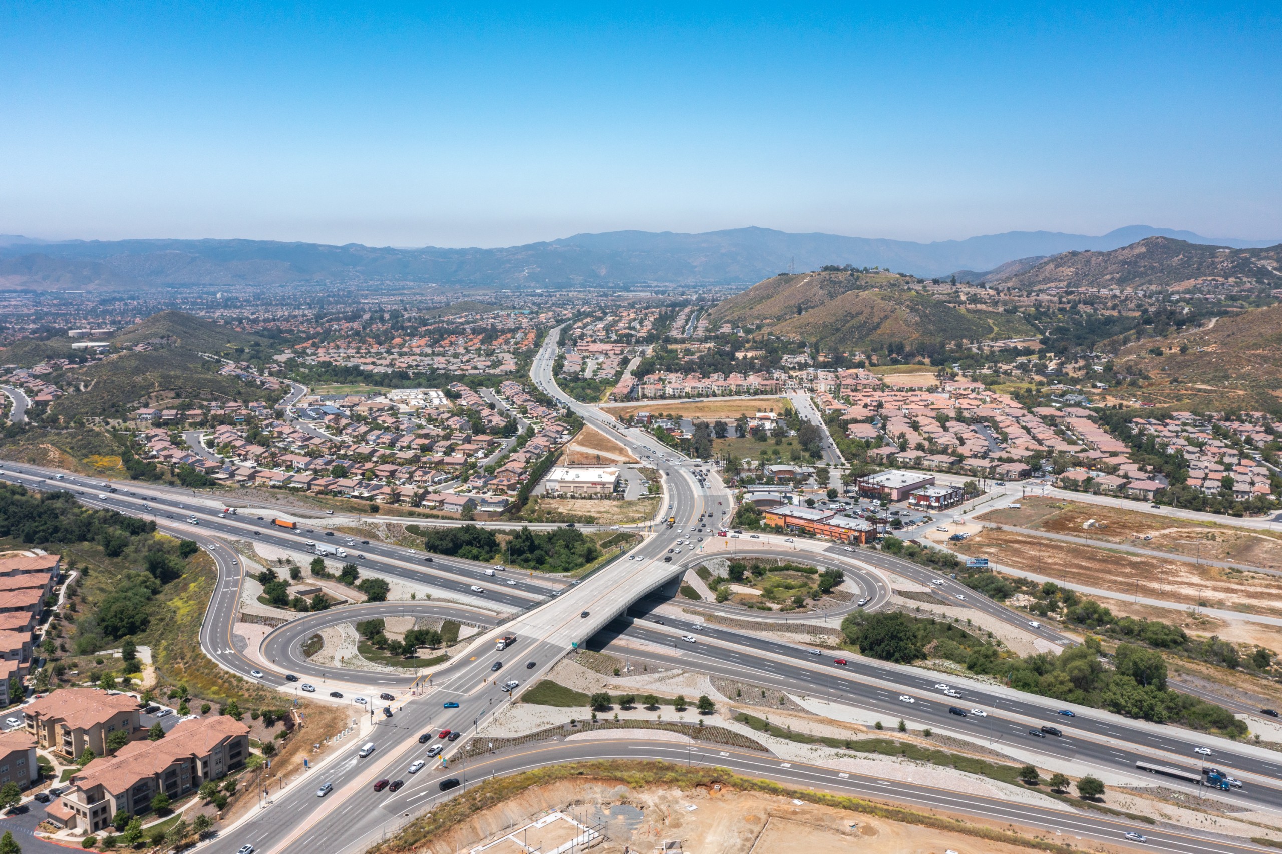
From expanding neighborhoods along Clinton Keith Road to commercial zones near Murrieta Hot Springs Road, our drone team delivers clean, accurate imagery designed to help clients track progress, evaluate land, and present their projects with clarity and confidence.
High-Resolution Aerial Imaging, Topographic Mapping & LiDAR Data Collection in Murrieta, CA
Murrieta’s steady residential growth, transportation improvements, and mixed-use development require precise drone mapping and LiDAR workflows. AeroViews produces 2D orthomosaics, 3D models, and LiDAR-based elevation data engineered for engineers, surveyors, and city planners.
From grading assessments near the Interstate 215 corridor to infrastructure planning around Los Alamos Road, our drone teams deliver accurate, geo-referenced datasets compatible with AutoCAD, Civil 3D, and GIS systems — all processed with speed and consistency.
Our services include:
Ready to elevate your project with professional drone services?
Contact AeroViews today for a free quote and let’s plan your next flight in Murrieta.
A local Murrieta commercial drone services company
a few of our services
- Commercial Real Estate Drone Photography
- Commercial Real Estate Drone Videography
- Construction Site Drone Photography & Video
- Drone 3D Mapping (Orthomosaic & DSM)
- LiDAR Drone Mapping & Data Collection
- Drone Surveying Services (Photogrammetry + Topographic Mapping)
- Solar Installation Drone Photography / Video
Whatever your project, we bring it to life from above with precision aerial imaging.
From commercial construction monitoring to aerial mapping for land planning, AeroViews provides Murrieta clients with high-resolution visuals and dependable LiDAR datasets. Our workflows capture clear, measurable information ideal for documenting progress and supporting decision-making at every stage.
Whether surveying development near Hunter Road, capturing marketing imagery for retail expansion, or collecting LiDAR for design and permitting, our Murrieta team delivers fast, FAA-compliant results. We equip engineers, developers, and property owners with accurate aerial data they can rely on.