Temecula Drone Photography, Mapping & LiDAR Services
AeroViews provides professional drone photography, mapping, and LiDAR imaging throughout Temecula, CA, supporting construction, real estate, and civil engineering projects across the region. Our FAA-certified pilots capture high-resolution aerial visuals and precise geospatial data designed for project documentation, site evaluation, and marketing.
From commercial corridors along Winchester Road to expanding neighborhoods near Pechanga Parkway, our team delivers clean, accurate imagery and datasets that help clients visualize progress, plan more efficiently, and present their projects with clarity.
High-Resolution Aerial Imaging, Topographic Mapping & LiDAR Data Collection in Temecula, CA
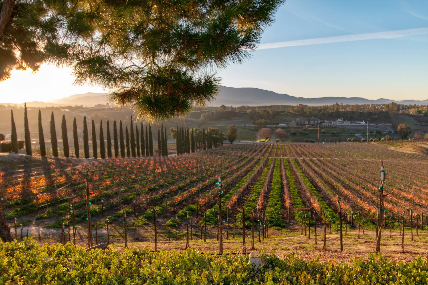
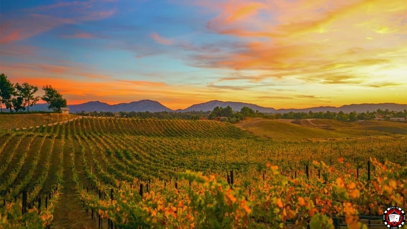
Temecula’s mix of residential growth, commercial development, and varied terrain requires drone mapping and LiDAR workflows built for accuracy and consistency. AeroViews produces topographic maps, 3D surface models, and LiDAR-based elevation data tailored for engineers, surveyors, and planners.
From new construction sites near French Valley Parkway to infrastructure improvements along Temecula Parkway, our drone teams deliver geo-referenced datasets compatible with AutoCAD, Civil 3D, and GIS platforms—ensuring dependable results with fast turnaround.
Our services include:
Ready to elevate your project with professional drone services?
Contact AeroViews today for a free quote and let’s plan your next flight in Temecula.
A local Temecula commercial drone services company
a few of our services
- Commercial Real Estate Drone Photography
- Commercial Real Estate Drone Videography
- Construction Site Drone Photography & Video
- Drone 3D Mapping (Orthomosaic & DSM)
- LiDAR Drone Mapping & Data Collection
- Drone Surveying Services (Photogrammetry + Topographic Mapping)
- Solar Installation Drone Photography / Video
Whatever your project, we bring it to life from above with precision aerial imaging.
From commercial construction documentation to aerial mapping for planning and design, AeroViews delivers the high-resolution visuals and LiDAR datasets Temecula projects depend on. Our workflows capture clear, accurate information that supports progress tracking, analysis, and presentation.
Whether surveying development near Butterfield Stage Road or capturing marketing-ready imagery for local businesses, our Temecula drone team provides reliable, FAA-compliant results. We help project managers, engineers, and real estate professionals make informed decisions with precise aerial data.