Laguna Beach Drone Photography Services
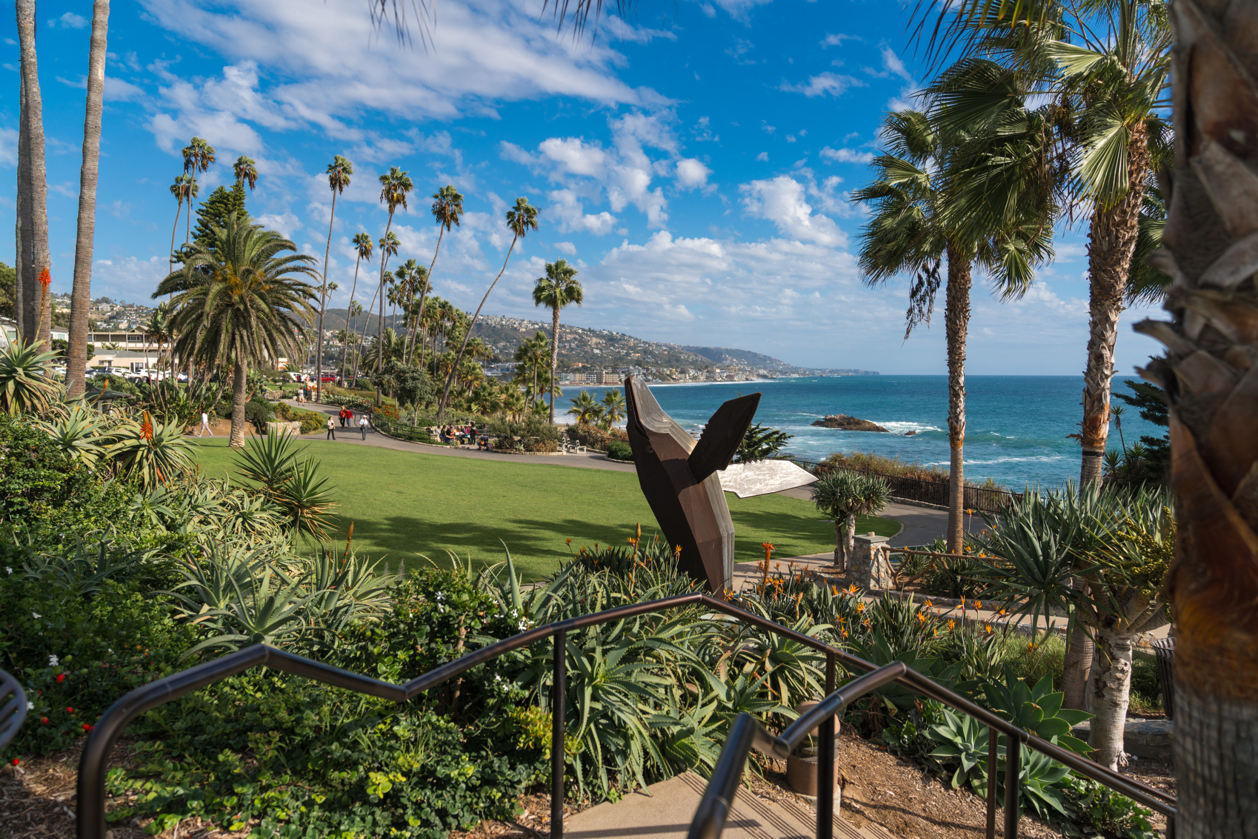
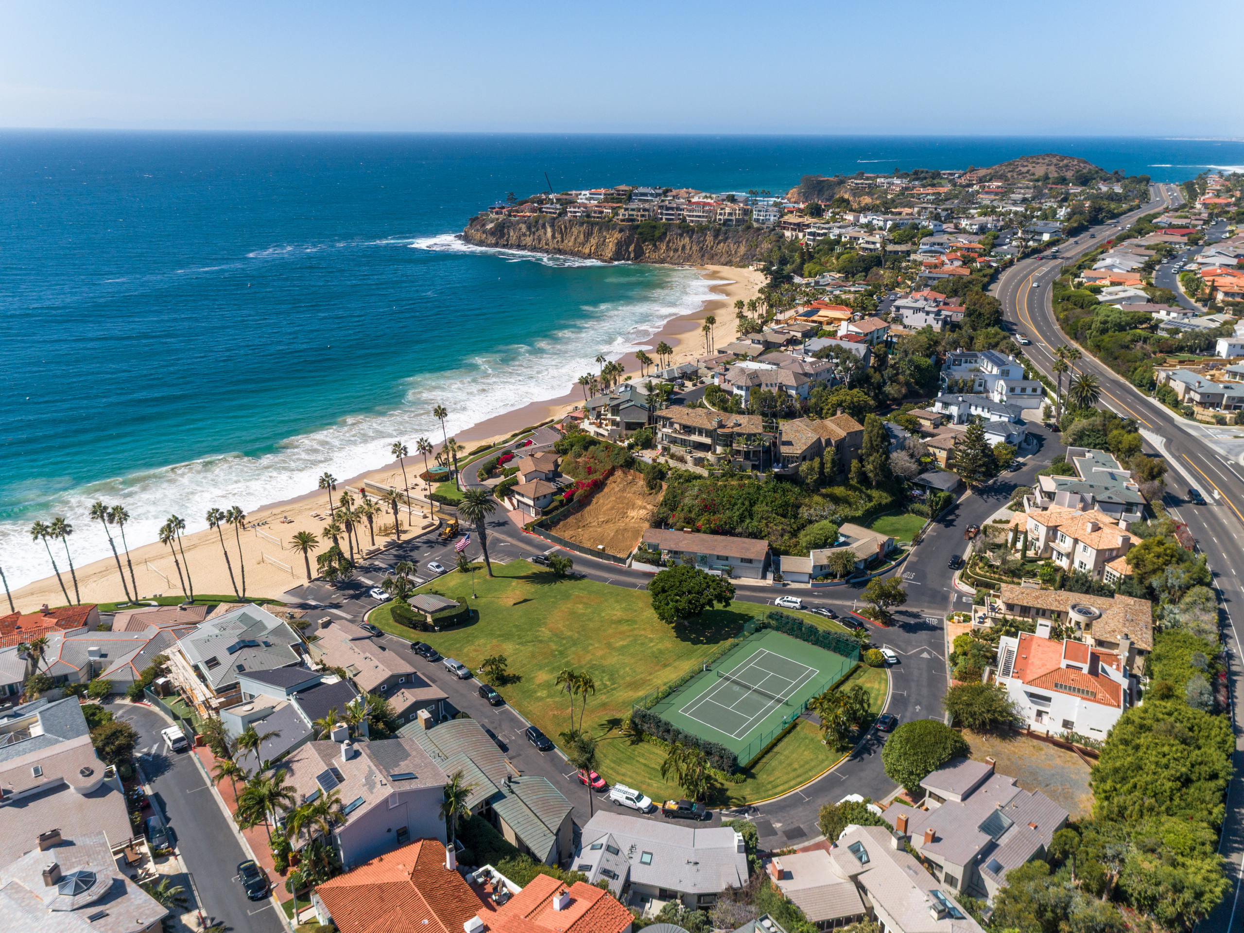
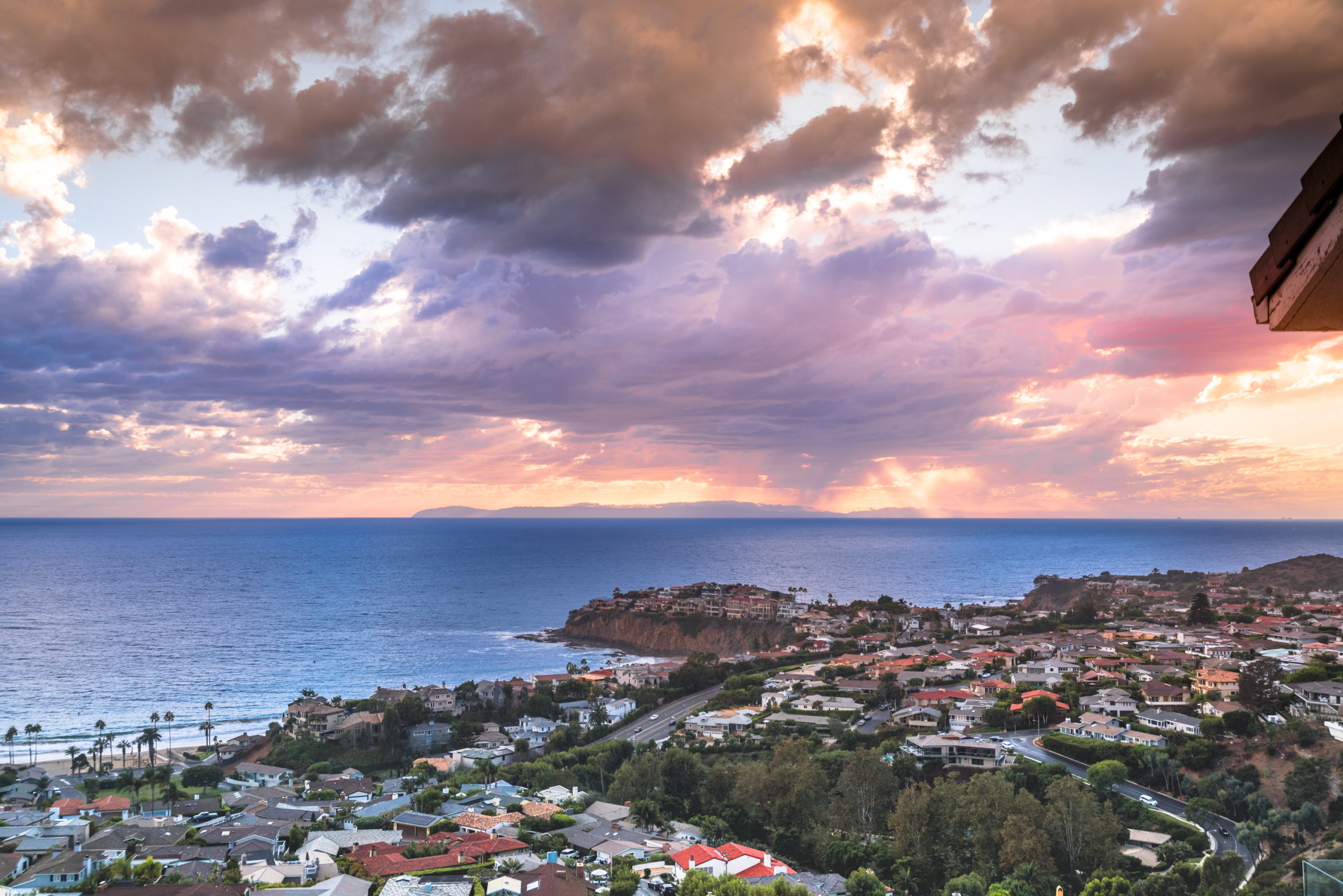
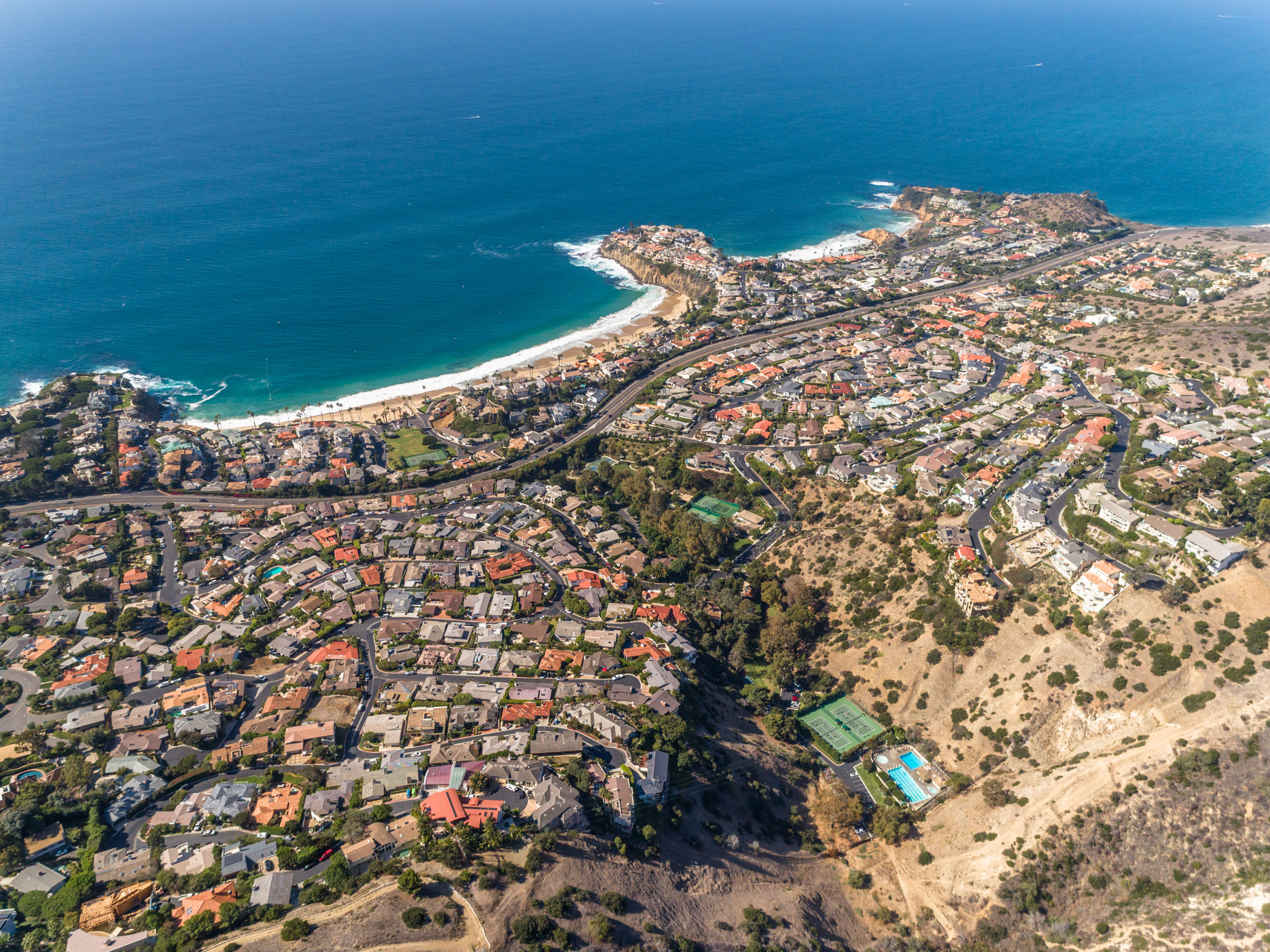
Looking for Laguna Beach drone services that deliver real results? Our FAA-certified pilots capture commercial properties, development sites, and land parcels with unmatched clarity and speed—coast to canyon. From Emerald Bay to the hills of Top of the World, we bring every inch of Laguna Beach into focus with cinematic visuals and high-resolution mapping.
Trusted by commercial real estate brokers, developers, and engineers throughout Orange County, AeroViews delivers high resolution drone imagery, topographic maps, and LiDAR data collection services— all with precision, speed, and local expertise.
High-Resolution Aerial Imaging, Topographic Mapping & LiDAR Data Collection in Laguna Beach, CA
Laguna Beach’s dramatic coastal cliffs, luxury homes, and world-class resorts demand an elevated perspective and AeroViews delivers. Whether you’re working on a beachfront estate in Emerald Bay, developing hillside parcels in Top of the World, or marketing a gallery on Forest Avenue, our FAA-certified drone team captures high-resolution aerial data and cinematic visuals that bring your vision to life. Our FAA-certified pilots and survey-grade drones deliver unmatched accuracy, stunning visuals, and fast turnaround.
We provide drone imaging and mapping solutions across Laguna Beach and surrounding coastal communities, including Newport Coast, Aliso Viejo, and Dana Point. We are fully licensed and insured, and every project begins with a free estimate and custom flight plan.
Ready to elevate your project with professional drone services?
Contact AeroViews today for a free quote and let’s plan your next flight in Laguna Beach.
A local Laguna Beach commercial drone services company
a few of our services
- Commercial Real Estate Drone Photography
- Commercial Real Estate Drone Videography
- Construction Site Drone Photography & Video
- Drone 3D Mapping (Orthomosaic & DSM)
- LiDAR Drone Mapping & Data Collection
- Drone Surveying Services (Photogrammetry + Topographic Mapping)
- Solar Installation Drone Photography / Video
Whatever your project, we bring it to life from above with precision aerial imaging.
Whether you’re marketing an oceanfront property on Victoria Beach, mapping a residential development above Laguna Canyon, or documenting renovations in Emerald Bay, our drone team brings decades of combined experience to every flight. We blend cinematic visuals with actionable spatial data to elevate your listings, proposals, and project plans.
No site is too complex or too remote. From FAA-compliant LiDAR data collection to commercial real estate video production, AeroViews helps architects, developers, and marketers make smarter decisions. Let’s bring clarity and impact to your next project—one flight at a time.