How Drone LiDAR Data Becomes a Trimble Machine Control Model
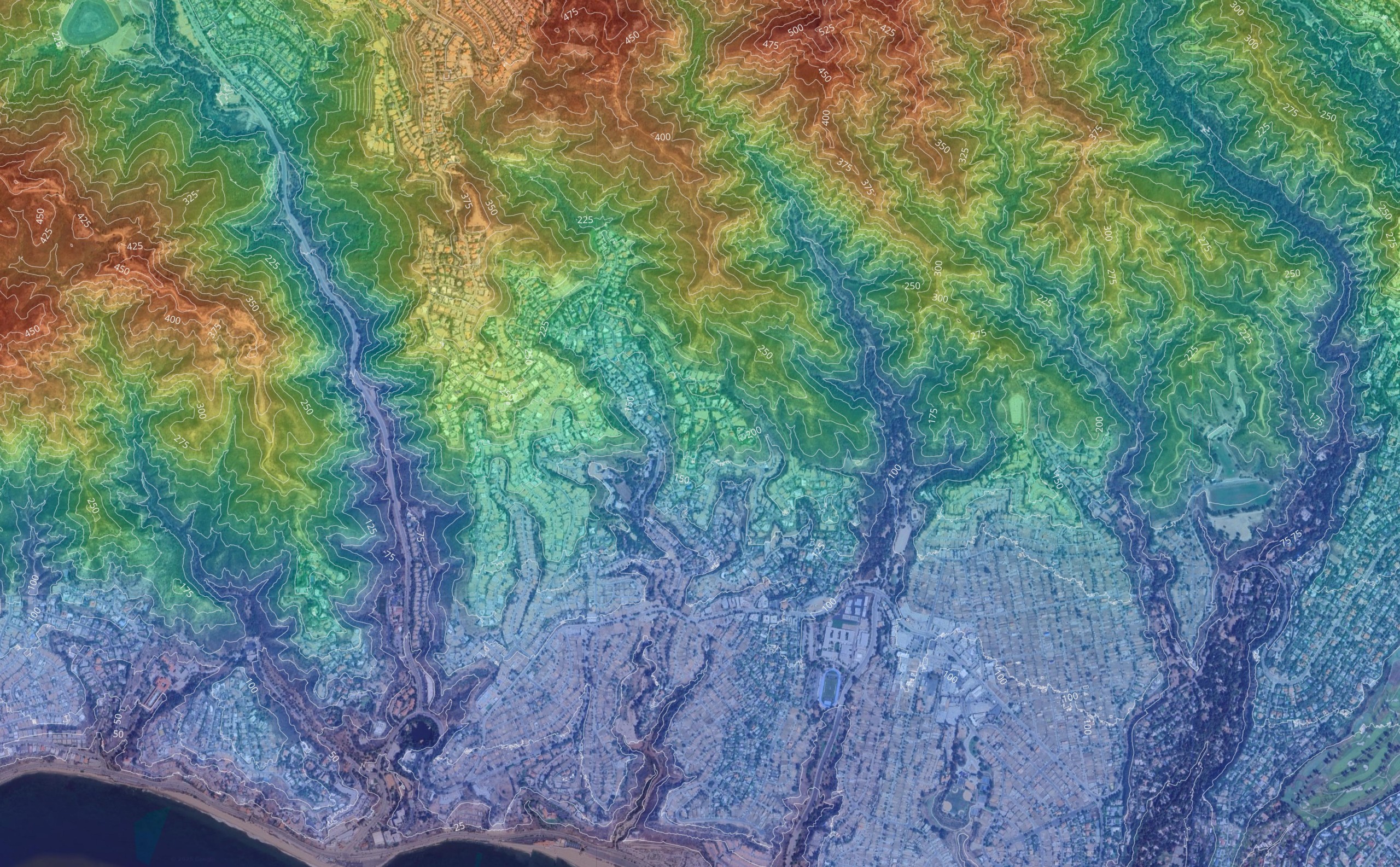
Step 1: High-Accuracy Drone & LiDAR Data Capture Before you can build a Trimble machine control model, you need accurate ground data. This is
Step 1: High-Accuracy Drone & LiDAR Data Capture Before you can build a Trimble machine control model, you need accurate ground data. This is
Geospatial services have become essential tools for understanding and managing our physical world. From tracking environmental changes to coordinating emergency response operations, these technologies

© Copyright 2012 – 2026 | AeroViews LLC | All Rights Reserved