
Pacific Palisades Post-Fire LiDAR Mapping
Following the Pacific Palisades wildfire, AeroViews captured more than 580 acres of high-resolution LiDAR data to support post-disaster assessment and recovery. The resulting engineering-grade dataset provides an accurate digital record of terrain, infrastructure, and site conditions across the burn area.
1 Day
Project Completion
2-5cm
Accuracy Achieved
Delivery
Contours
3D Modeling
Contours
Topographic MappingDSMDEM
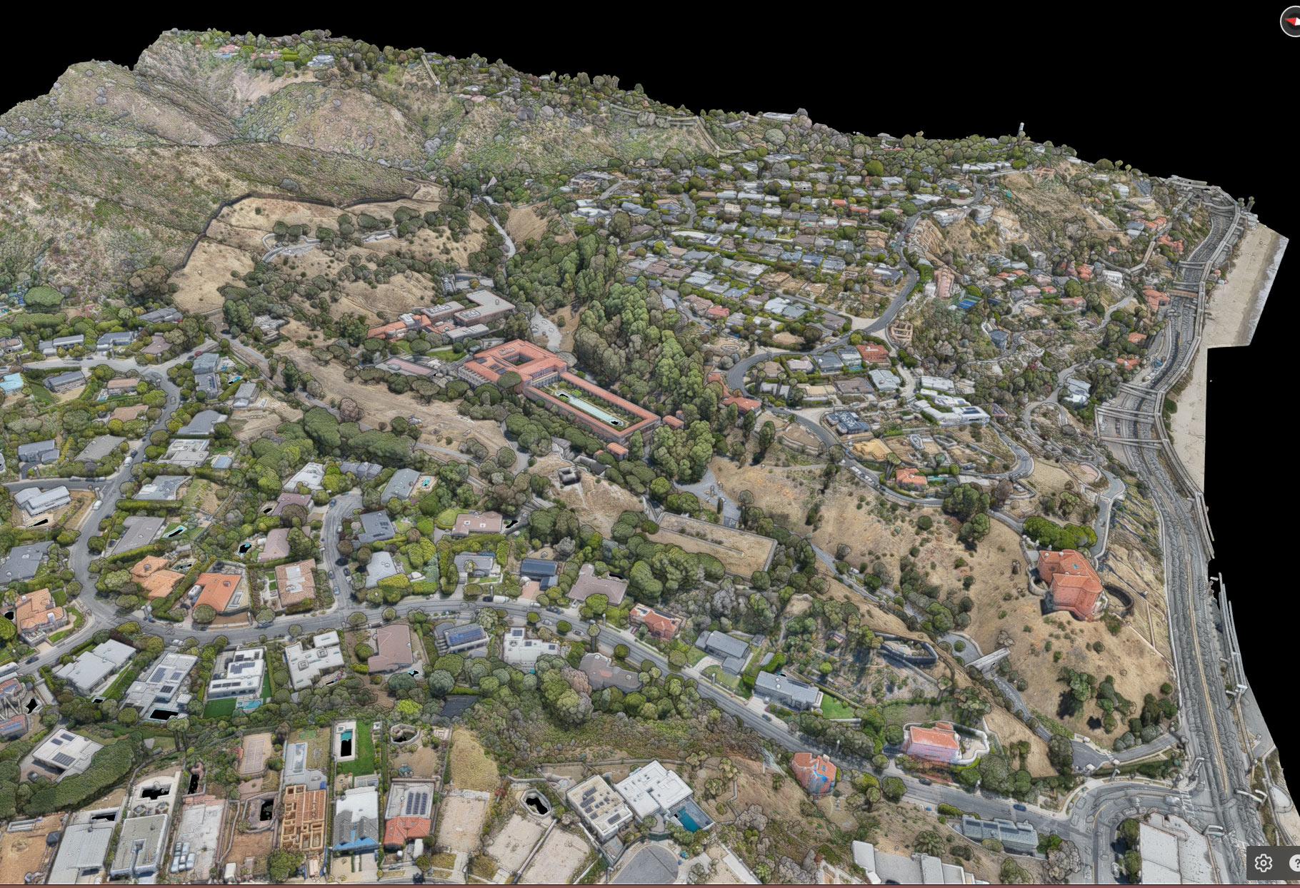
580+ Acres of Post-Fire
LiDAR Capture
Captured using drone-mounted LiDAR technology, this dataset provides a highly detailed, true-to-scale digital representation of more than 580 acres impacted by the Pacific Palisades wildfire. The data supports terrain analysis, reconstruction planning, and post-disaster documentation.
Project Overview
Following the devastating Pacific Palisades wildfire, AeroViews was deployed to perform large-scale aerial LiDAR mapping across more than 580 acres of affected terrain. The objective was to create a comprehensive, engineering-grade digital dataset that accurately documented post-fire site conditions and supported ongoing recovery efforts.
Using advanced drone-mounted LiDAR technology, our team captured millions of georeferenced points representing the terrain, remaining infrastructure, vegetation, and surrounding landscape. The data was processed into highly accurate point clouds and terrain models, providing engineers, planners, and project stakeholders with reliable spatial information for analysis and decision-making.
The resulting deliverables established a detailed digital baseline that can be used throughout debris removal, engineering, reconstruction, and long-term recovery planning.
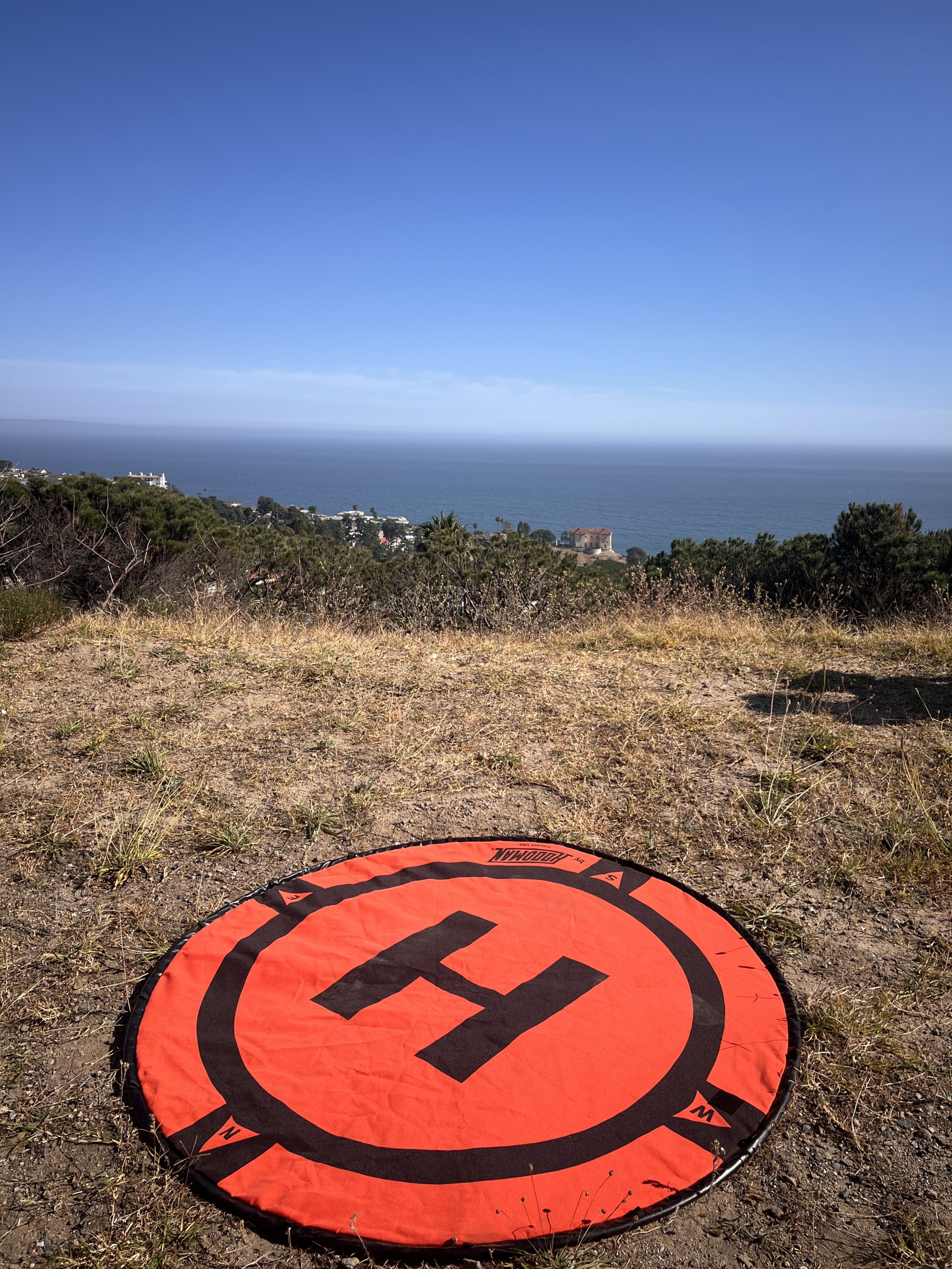
Deliverables
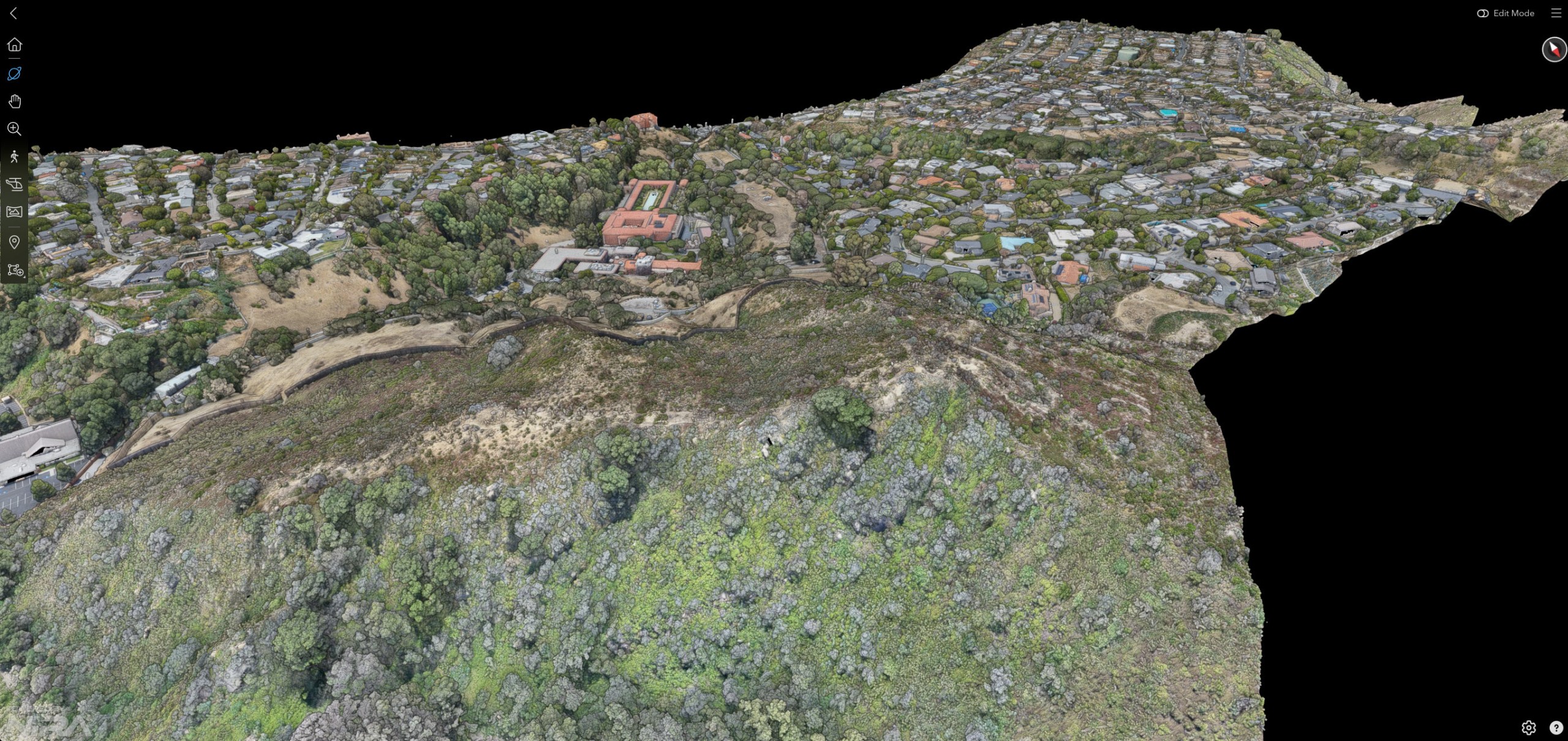
Technical Services



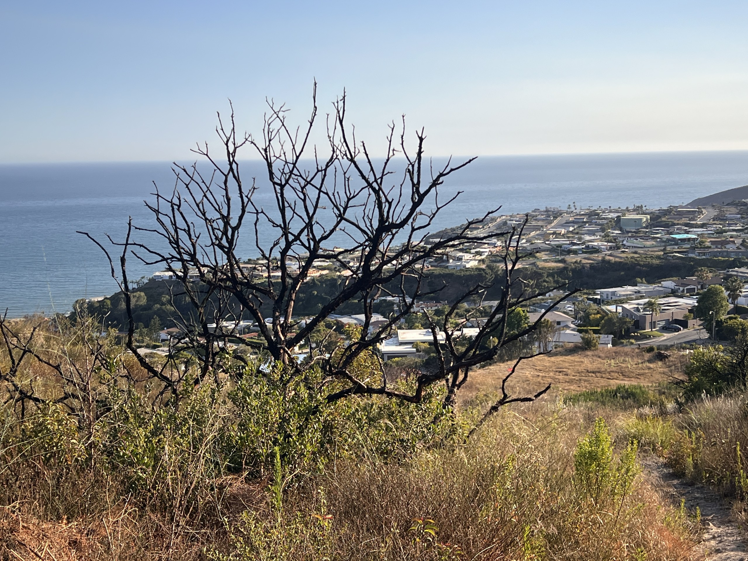
Results & Impact
The completed LiDAR survey delivered an accurate digital representation of more than 580 acres of wildfire-affected terrain. By providing engineering-grade spatial data shortly after the disaster, the project enabled faster analysis, improved documentation, and a reliable foundation for recovery planning.
The dataset supports terrain evaluation, infrastructure assessment, design coordination, and future reconstruction activities while significantly reducing the need for extensive field measurements across challenging conditions.