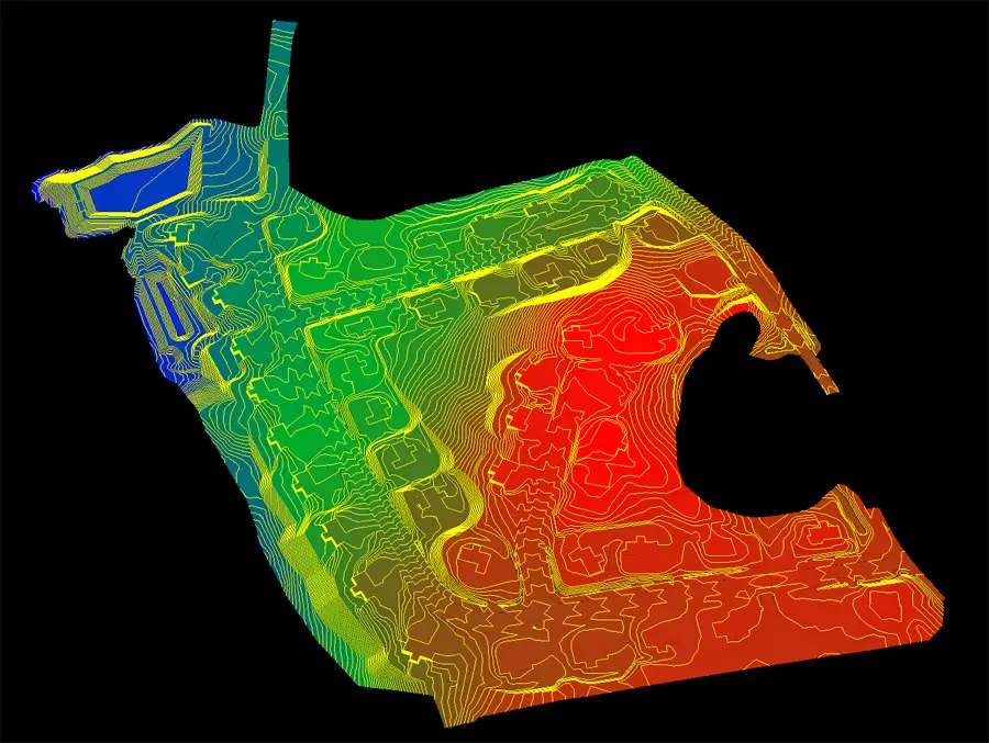
How Drone LiDAR Data Becomes a Trimble Machine Control Model
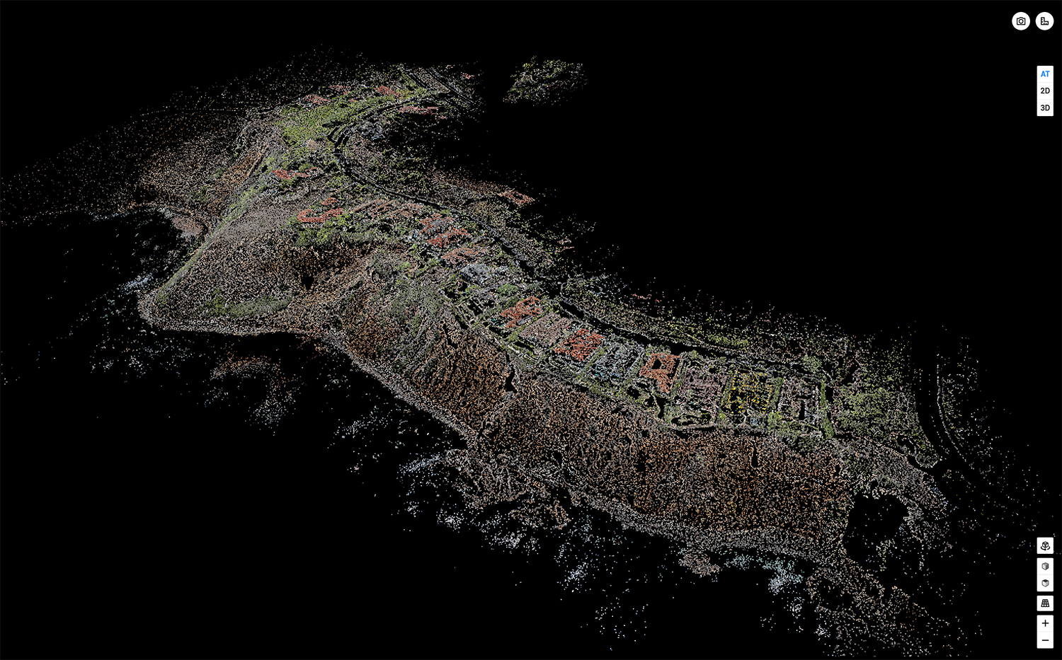
Step 1: High-Accuracy Drone & LiDAR Data Capture Before you can build a Trimble machine control model, you need accurate ground data. This is
Step 1: High-Accuracy Drone & LiDAR Data Capture Before you can build a Trimble machine control model, you need accurate ground data. This is
Geospatial services have become essential tools for understanding and managing our physical world. From tracking environmental changes to coordinating emergency response operations, these technologies
Topography vs bathymetry is a distinction I run into often when clients ask me to "map the land" — only for the project site
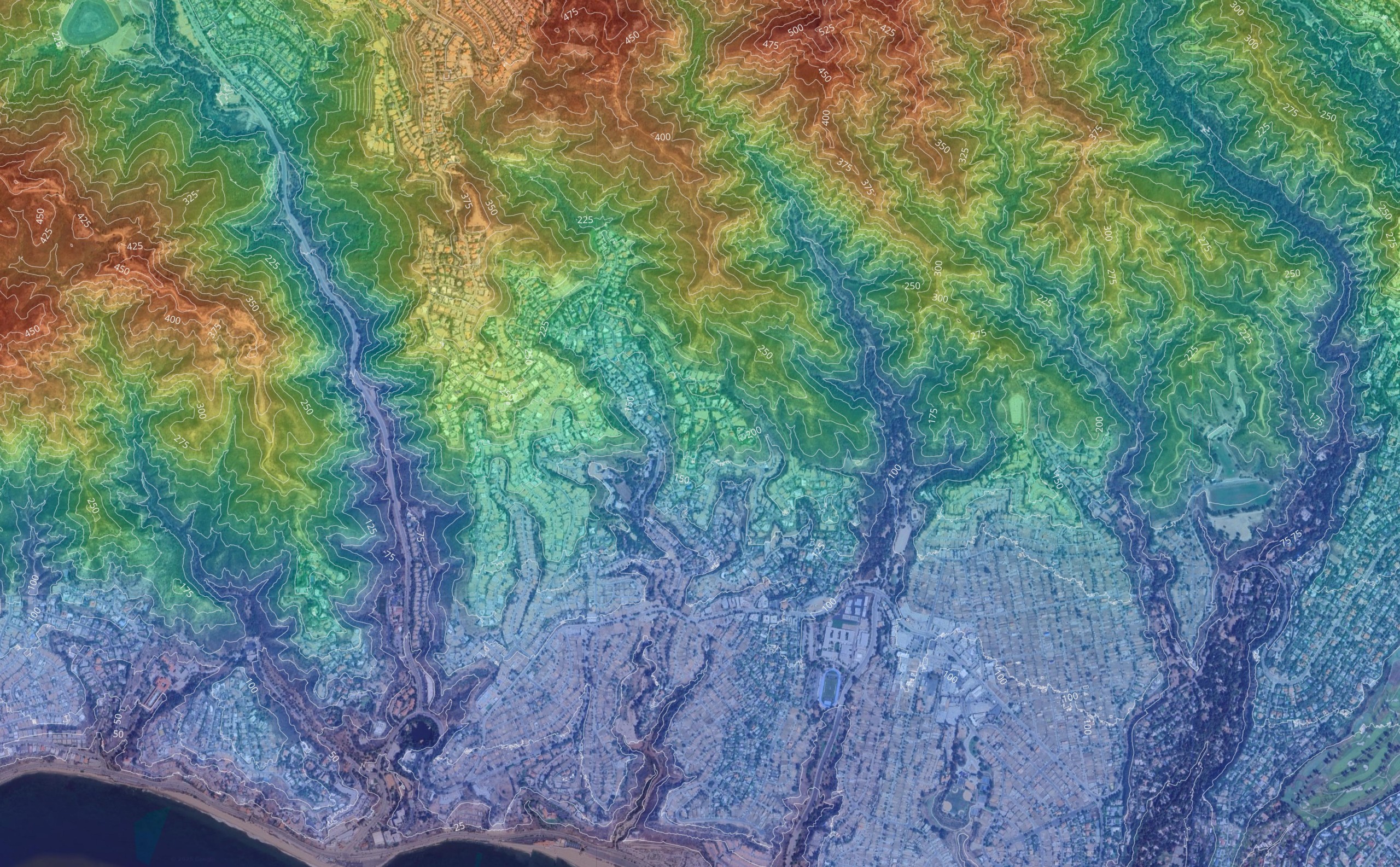
Choosing between LiDAR and photogrammetry can significantly impact the accuracy, cost, and efficiency of your next survey or mapping job. Both technologies are widely
Why Ground Control Points Still Matter in Modern Drone Surveying Drones have revolutionized land surveying, offering faster data collection, real-time insights, and scalable workflows.
The Emlid RS3 is a high-precision, multi-band GNSS receiver designed for professional applications like surveying, construction layout, and precision agriculture. What makes it stand
What Is Drone Surveying and How Accurate Is It? If you have ever found yourself wondering how accurate is a drone survey, this blog

© Copyright 2012 – 2026 | AeroViews LLC | All Rights Reserved